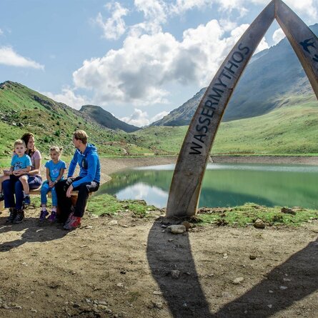
With superb views to the Schober group and the Dolomites, at around 1900m, Roaner Alm is a destination which is popular with hikers and families with children. The ambience is lovely, the food excellent, with some Mediterranean meals that you might not expect to find in an Alpine inn. Enjoy the sun and panorama on the terrace or at the traditional tables in the middle of the meadow. The snugs are cosy and homely – landlady and chef Lydia Pichler is happy to let you sneak a peek over her shoulder while she works.
The popular hiking route starts at the car park right next to Gasthof "Schöne Aussicht". With a pleasant gradient, the route proceeds with slight bends initially along the south-east slope heading for Carinthia. After the impressive switchback, you then hike "out of the valley" again until you come to the forest ridge of the Waldrücken of the Strasskopf, where the Lugger Alm (1630m) – not open for business – is located. The route continues without much of a gradient up to Roaner Alm.


