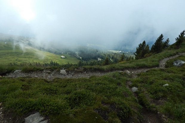
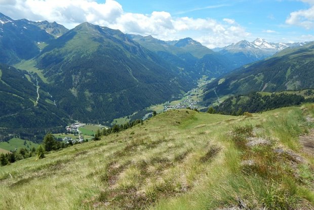
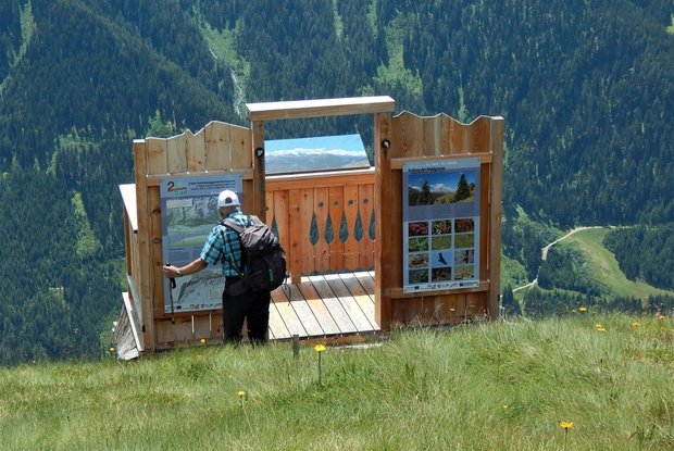
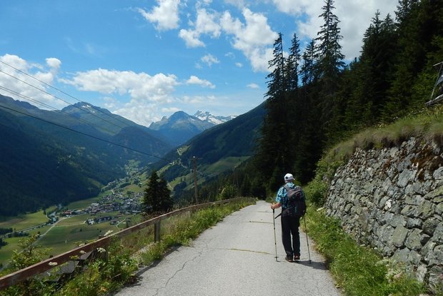
From the village square in St. Veit you walk along the asphalt road to Oberholz until path no. 316 branches off to the left and leads in serpentines through the forest to the snack station Speikbodenhütte. Near the lodge there is also an information platform of the Hohe Tauern National Park. After an extensive rest, take hiking trail 21B to the Gritzer Alm mountain pasture, which invites you to enjoy the magnificent view.
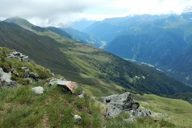
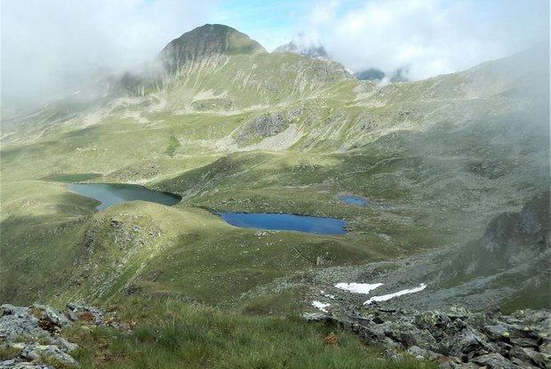
Follow path no. 316 uphill to the tree line and crossroads of paths 316 and 23A and from here take path 23A to the next yellow signpost. From here we continue on the hiking trail 20B with a panoramic crossing of the slope below the Gritzer Hörndl mountain to the lake Gritzer See. The trail then continues westwards, circling the valley on trail no. 315 below the Gasser Hörndl mountain and past the Tögischer Berg, across the Tögischer Berg meadows and the subsequent steep mountain forest down to the hamlet of Tögisch and on towards the valley until you finally reach the stage destination of St. Jakob.
