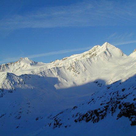
The Schönberglspitze is in the eastern foothills of the Deferegger mountains, in the ridge which proceeds to the north west of Lienz’s local mountain, the Hochstein. It is accessible from the lovely town of Schlaiten, which is set on a sloped terrace, via the traditional alpine pastures and provides a wonderful view to Iseltal and the greater Lienz area. Connoisseurs will enjoy the ascent to the sun-drenched Krass- and Petoggalm inns which are a worthwhile tour destination alone. Starting point is Mesnerdörfl Schlaiten, around 10 km to the north west of Lienz. We use the road which proceeds uphill through the town, before signposts before the bridge at Schlaitnerbach twice proceed left, heading steep up to Glanz. Via the narrow mountain road we head out of the valley and after around 1 km at the start of the tour we come a junction (995m, not much parking available). The road here descends slightly to Glanz – Oberlienz, whereas we keep to the yellow signposts heading for Krass Alm. Initially we have to carry our skis briefly along the road before we head, in the first right bend, below a building, into the impenetrable protected woodland and thereby shorten the first loop. From the building we can also climb via the additional forest trail which is used as a toboggan run in the winter, heading for Krass Alm (route signposts); this route is recommended when there is not much snow. After the first short cut we take the goods road, continuing to a nice forest cross in a right-hand bend. We can again shorten the route several times by heading through the protected forest or head in more leisurely fashion via the forest trail (route signposts), which is recommended for those who do not know the area. Anyone who has endeavoured to ultimately tackle the 500 metre altitude forest belt, will enter lovely glades at a wooden shelter (1450 m) and will keep heading uphill via open terrain. Those who head through the forest will come across a pass to somewhat higher in the Alpine terrain. The destination is the striking large agricultural building of the Petoggalm (1815m). The route now continues through charming troughs, heading south west and heads above the forest limits into a small kettle. We leave this in an impressive left-hand crossing area (east) beneath steep slopes (north-east, 30°) and enter the accompanying ridge at the flattest section available. Please note that there is a risk of avalanche! When conditions are not safe the forest limits area may also be traversed from the rear. Always keeping to this route after a few hairpin bends we get to the summit ridge between the Schönberglspitze and Lavant-eck at around 2540 m, where we, via the boulder-strewn north-west ridge we climb to the highest point mostly not on skis. Descent along the ascent track.
Additional ski tour tips can be obtained in the ski tour guides by Thomas Mariacher. These are available here: www.grafikzloebl.at/verlag/buecher/


