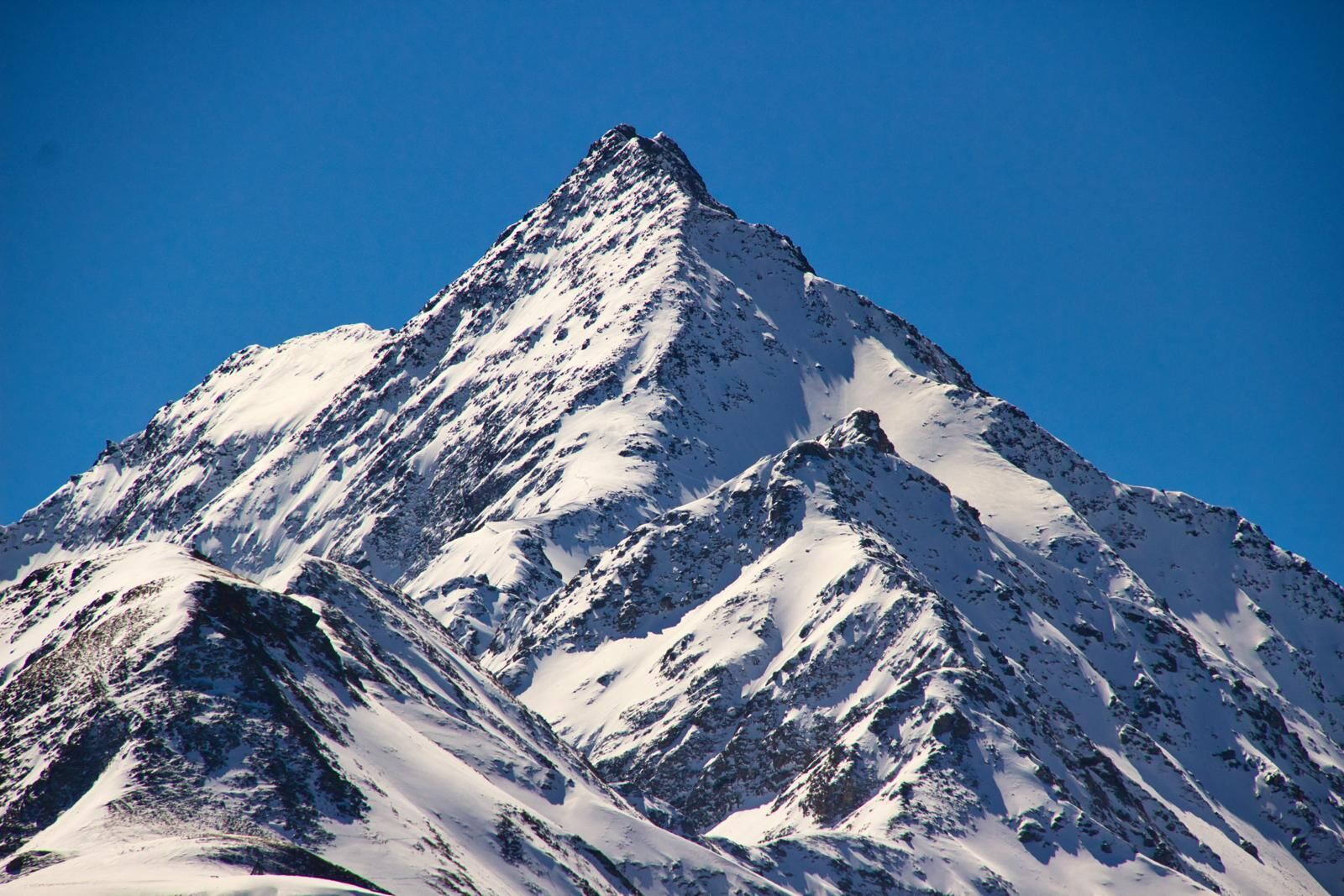
The Staller Sattel is the junction area from East Tirol’s Defereggental into South Tirol’s Antholzer Tal and is closed to traffic in the depths of winter. However the ascent to the 2000 metre pass is cleared, which means that this wonderful ski tour area is opened up to leisure-oriented skiers and is snow-assured right through to spring. With the Nordstau weather system, ski tours on the Sattel are prone to be windy. Anyone who is not a fan of crusted snow would be better to head for the more southerly area.
For the Innerrodelkunke (2729 m) we follow the ski track from the car park at the end of the road (opposite the restaurant) directly heading south in the impressive Zinsental. The ascent proceeds along the Zinsenbach in zig-zags into the valley in the broad basin between Innerrodelkunke and Kerlskopf. The track makes a right turn here and stops at the final slope, which is already visible from quite a distance and which has to be tackled in a few hairpin bends. Via the short ridge, depending on the snow conditions, with or without skis up to the highest point. Descent along the ascent track.
Additional ski tour tips can be obtained in the ski tour guides by Thomas Mariacher. These are available here: http://www.grafikzloebl.at/verlag/buecher/


