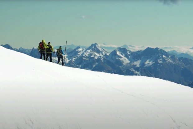
Immediately after the hut, a steep but short ascent awaits you. Then it is flat again in a northeasterly direction to the valley station of the goods cable car. You pass this on the right to a distinctive lateral moraine at around 2500 m. On the left side further towards the northeast you cross a climbing slope to a crest. You continue through hollows and ridges at around 2800 m, where you can see Defregger Haus for the first time. After crossing the steep east slope to the right of a sharp ridge, you reach the hut after a few switchbacks (caution in bad snow conditions!). From Defregger Haus, after a short while you reach the entrance to the glacier world of Rainerkees. At first the trail runs flat into the basin below Rainer Horn, then in a few curves to the westerly Rainer Törl (3420 m). From there once again across flat ground, ascending slightly to the peak slope. A few switchbacks take you across the somewhat steeper final section to the peak of Großvenediger at 3657 m. The ascent time is around 5.5 to 6 hours. At the beginning of the descent, you first keep to the left towards Venedigerscharte, then to the right over Schlatenkees to the hut Neue Prager Hütte (considerable crevasse danger!). You continue keeping to the left towards the Niederer Zaun ridge, a distinctive ridge above the hut Neue Prager Hütte. You can ascend to the hut or continue to descend along Schlatenkees, where it is best to keep to the left, as there are still many crevasses in the lower area of the glacier. Once you have “firm ground” under your feet again, you continue in good conditions along Sommerweg, or you can keep to the right over rocky crests and hollows, crossing the stream Schlatenbach below the waterfall, reaching at 1700 m the wide and flat valley floor of Innergschlöß. At the “mountain village” Innergschlöß, the last section leads on to Außergschlöß and along the roadway down to the finish of this stage, Matreier Tauernhaus.
Menu

