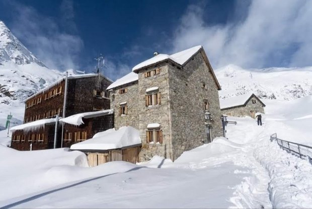
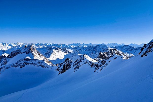
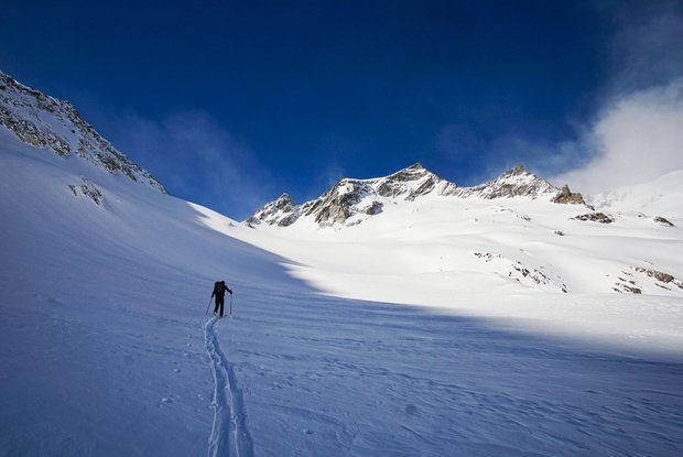
In Kasern - Heiligengeist (1621 m) – the Hoch Tirol ski route starts, first ascending slightly into the Windtal, at the entrance to the valley always to the right of the stream to around 2050 m, then further into the valley. From the valley basin you ascent to the left along a steeper gully, before reaching flatter ground again, leading to another wide valley basin. The trail continues in switchbacks up to a moraine which it crosses. At the end of a small basin, it continues steep upwards with some curves to a ridge below Ahrnerkopf at around 2600 m. After leaving this ridge behind, you reach a hollow and a basic that leads up directly to Umbaltörl (2844 m), which you reach after around 4 hours. After a short descent down to Umbalkees, the ascent to the 3056 m high Reggentörl starts with a fairly flat crossing of Umbalkees, then climbs slightly along the right strand of the glacier towards the east. Reggentörl, situated between Malhamspitzen and Gubachspitze, is the highest point of this day stage. 6 to 6.5 hours of ascent are no doubt enough for the first day. The descent to Essener Rostocker-Hütte leads down the glacier, keeping to the right of the cliffs, to a ridge at about 275 m. To the left of this, you ski over a hollow and then down a steeper gully to Simony-Kees, along the glacier tongue on the right past the lake Simonysee, with an incision in the last slope leading down to a flat floor and Essener Rostocker-Hütte, the destination on this first day.
Menu
