Hoch Tirol

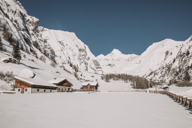
The Hoch Tirol ski route is arguably the most impressive and most breath-taking high mountain crossing in the East Alps. More than 18,000 metres altitude and 140 kilometres are covered over six days.

The most important at a glance

altitude meters uphill
🔋
9230 m
highest point
🞍
3798 m
distance
92 km
altitude meters downhill
🔋
8910 m
difficulty
🞽
difficult
starting point:
Kasern / Südtirol
destination point:
Kals am Großglockner
best season:
JAN, FEB, MAR, DEC

arrival

Parking spot

Parking area Glocknerwinkel

Car park Ströden 1.400m

Car park Matreier Tauernhaus 1.510m

altitude profile

Pdf file

Gpx file

Interactive map

open

Current weather conditions

Sonne-03.png

-2°C/28°F °C

Description

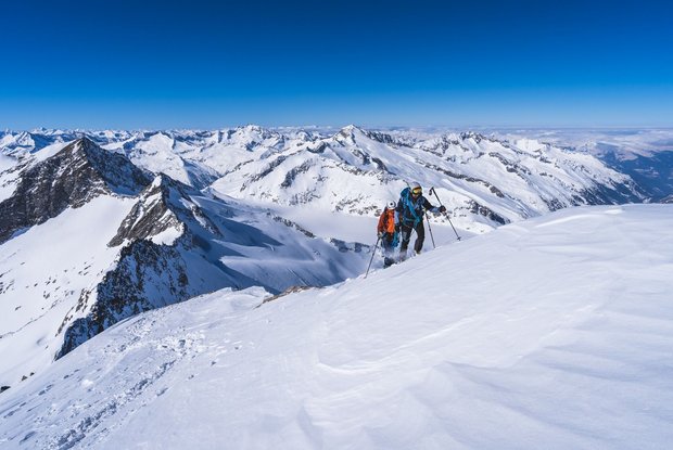
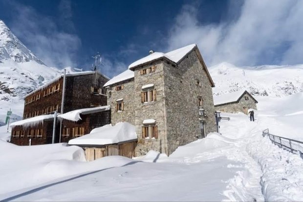
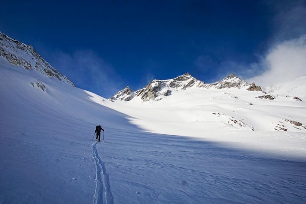
A classic ski tour taking you up the mountain and after conquering the summit, back to the valley again. Yet the Hoch Tirol ski route is not a classic ski tour. On the Hoch Tirol ski route you stay the night in accommodation which is right on the mountain and in bothies located at above 2000 metres, there is even one at 2801 metres (Südlhütte on stage 5). The challenging ski route starts in Kasern in South Tyrol and proceeds across the summits of the Venediger mountains to the highest mountain in Austria, the Großglockner (3798m). An overwhelming sensation is guaranteed here when you arrive at the final stage, Kals am Großglockner! The feat you have just achieved, the proximity to the forces of nature around the glacier and the many summits conquered will be etched in your memory.

Newsletter

Subscribe to our newsletter and receive the best tips every month for current offers, mountain tours, events and much more.