The Jakobsweg trail

The way of St. James stages in Osttirol

The "Jakobsweg" refers to the ways in which a turbulent pilgrimage has been established over the centuries through buildings, patronzins, documents, etc. Over time the routes of the "Jakobsweg" have adapted themselves to political (eg war) and geographic conditions (floods, rock falls,etc.). 


Through the Carinthian Drautal, the Way of St. James leads to Lienz and further in the Pustertal to Innichen, Bruneck and finally North of Brixen in the Eisacktal. There he joins the Way of St. James, which ascends from the south.  

Impressions
back
Next
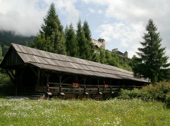
View to the Carinthian Gate
first stage from the Carinthian border along the river Drau to the city of Lienz
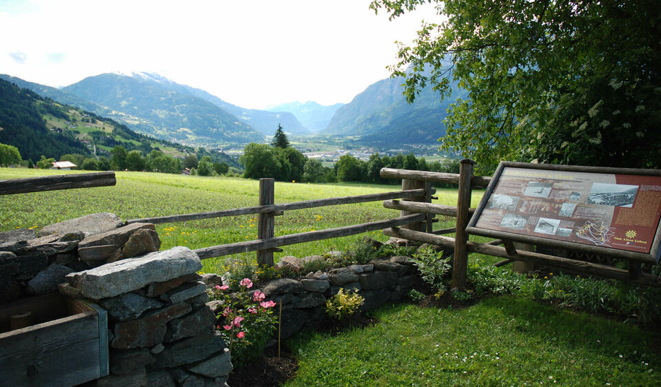
Valley Lienzer Talboden
on the way to Assling and the flanking mountains you have a good chance to enjoy the sun
Osttirol-stage Assling
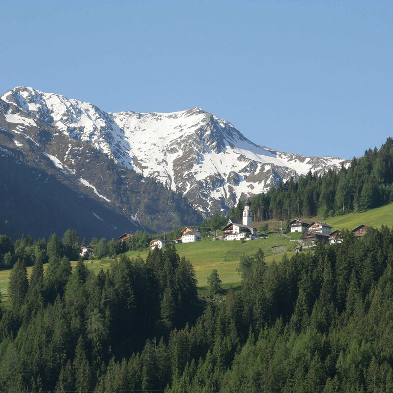
the idyllic village is located on a sunny plateau at the eastern entrance to the Pustertal valley
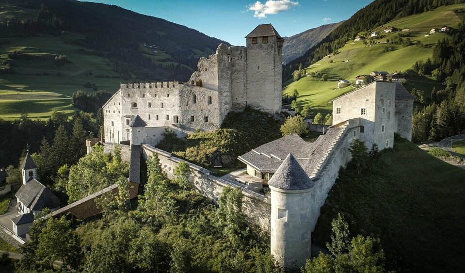
The queen of the Pustertal valley
the impressive castle rises above the village of Heinfels
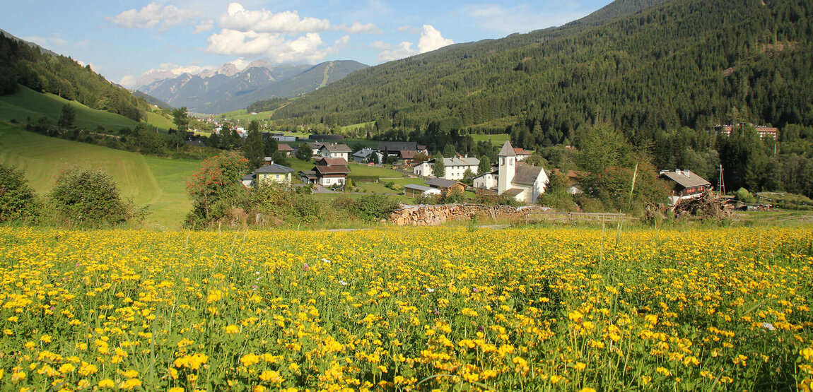
Hiking in the valley Kristeinertal
the way is not far from the last stage destination Innichen (Italy)

Jakobsweg - Osttirol Stages

starting point:
Nikolsdorf
destination point:
Innichen
total walking time
23 h
distance
67.6 km
🔋
altitude meters uphill
1820 hm
🞽
difficulty
average
Stages in Osttirol

Jakobsweg:

starting point:
Kärntner Tor
destination point:
Gasthof Goldener Fisch
highest point:
738 m
total walking time
6 h
distance
22 km
🔋
altitude meters uphill
235 hm
🞽
difficulty
average

Jakobsweg: Lienz-Assling

starting point:
Gasthof Goldener Fisch
destination point:
Kirche Unterassling
highest point:
1111 m
total walking time
5:30 h
distance
16 km
🔋
altitude meters uphill
580 hm
🞽
difficulty
average
state: closed

Jakobsweg: Assling-

starting point:
Kirche Unterassling
destination point:
Abfaltersbach "Winkl"
highest point:
1100 m
total walking time
4 h
distance
13.2 km
🔋
altitude meters uphill
450 hm
🞽
difficulty
average

Jakobsweg: Abfaltersbach-Sillian

starting point:
Abfaltersbach "Winkl"
destination point:
Sillian
highest point:
1339 m
total walking time
4 h
distance
16.7 km
🔋
altitude meters uphill
320 hm
🞽
difficulty
easy

Sillian to Innichen

Walking time: 3,5 h
Difficulty: easy
Distance: 12,6 km
Total altitude: 69 m

The border with Italy is within sight. The connection between Austrian Tyrol and Italian South Tyrol is very close for historical reasons. The path leads from the church in Sillian through Ambach to the border – from here there is a connection to the South Tyrolean Way of St. James. It is worth seeing the church of the Benedictine monastery of Innichen, an important Roman sacral building from the 12th century. The late Roman dome frescoes by the famous painter Michael Pacher represent the history of creation.
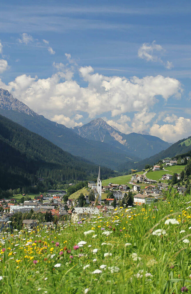
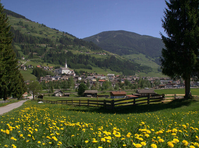
Blick auf den Weiler Hollbruck
LINK TIP

jakobsweg-tirol.net

You may also be interested in

Solder
2TälerTrail
Talrundweg Kals - Rastplatz Schoberblick
Talrundweg Kals
Newsletter

Subscribe to our newsletter and receive the best tips every month for current offers, mountain tours, events and much more.