"Herz-Ass"-Trail

Just follow the heart

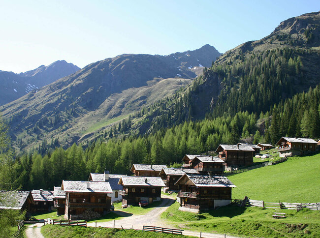
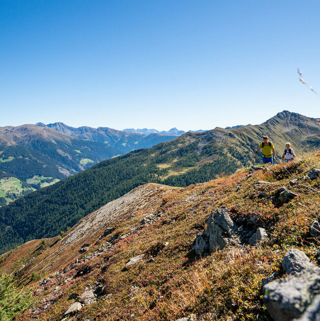
The route to 50 impressive summits around Villgratental is now signposted. Creating a heart, the 50 impressive summits have lovingly connected the secluded Villgratental since time immemorial. This can only really be seen from a bird's eye view. So nobody gets lost, the legendary 5-Day route, which has up to now been regarded as an insider tip among local people, is now signposted throughout.


For "all and sundry", so to speak. That's what East Tyrol people say about this easy variant, which saves you having to do a few summits and in the evenings always leads you to a comfortable overnight stay Option in the valley. The hard tour which has 4750 meters altitude alone to tackle in the climb, covers some 100 kilometers and has two Alpine inns and three nights in a bivy still remains the territory of the map-readers among you.


The Villgrater mountains connect the two mountaineering villages of Außer- and Innervillgraten in one big heart shape. Although it has always been there, the Villgrater People only discovered their "heart" in the 1980s. "The route was first tackled then -many People celebrated and did this ridge hike together", recalls Ossi Fürhapter from the local tourist office. "And we are now proud of the fact that we can now invite our guests to enjoy this very special experience". Let the uniqueness of the secluded Villgratental take effect on you, one which will last for a long time to come. Meet like-minded people who are conquering the summit too. On the recently set-up Herz-Ass hiking trail.


You get to experience the unique natural surroundings and cultural landscape of Villgratental.

Heartbeat in five hiking stages

In five stages, modelled on the original mountain journey, the "Herz Ass" connects 50 mountain peaks like a loop of a gift package, 50 mighty peaks that have seemingly lovingly enclosed the secluded Villgratental valley since time immemorial.

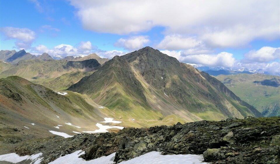
The main route is designed as a panoramic trail over 2000 m above sea level so that the imposing mountain world of the Eastern Alps and the scenic beauty of the Villgratental are experienced in an equally impressive way.

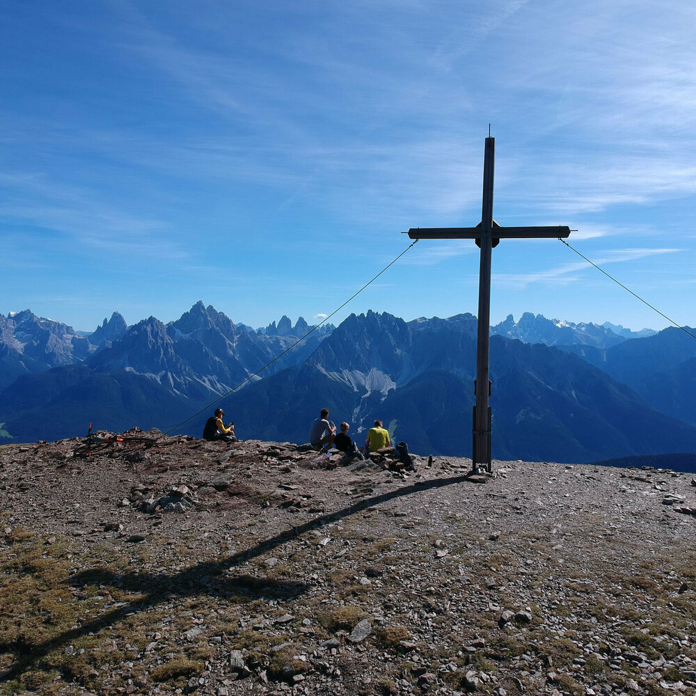
On each stage, a special summit experience is offered as an alternative trump card for fit mountain hikers. The alpine pleasure hiker, on the other hand, experiences a comfortable mountain panorama trail between East and South Tyrol over high alpine pastures, past crystal-clear

Mountain lakes, bizarre rocky landscapes and along ancient paths, trails and passages of hunters, shepherds, smugglers and also warriors (soldiers). The stage destinations are set in such a way that accommodation is partly possible directly on site or with a mobility connection in the villages and towns in the high valley.

Impressionen
back
Next
Oberstaller Alm
Oberstaller Alm
Schafsee Thurntaler
Schafsee Thurntaler
Schrentebach Wasserfall
Unterstaller Alm
Unterstaller Alm
Volkzeiner Huette
Volkzeiner Huette

Herz-Ass Villgratental

starting point:
Dorfzentrum Außervillgraten
destination point:
Dorfzentrum Außervillgraten
highest point:
2698 m
total walking time
34 h
distance
76 km
🔋
altitude meters uphill
5750 hm
🞽
difficulty
average

Herz-Ass Villgratental - circuit

Herz-Ass Villgratental: Stage 1

starting point:
Außervillgraten
destination point:
Reiterstube
highest point:
2353 m
total walking time
6 h
distance
17.6 km
🔋
altitude meters uphill
1220 hm
🞽
difficulty
average

Herz-Ass Villgratental: Stage 2

starting point:
Reiterstube
destination point:
Volkzeinerhütte
highest point:
2579 m
total walking time
7 h
distance
13.7 km
🔋
altitude meters uphill
1190 hm
🞽
difficulty
average

Herz-Ass Villgratental: Stage 3

starting point:
Volkzeinerhütte
destination point:
Unterstalleralm
highest point:
2698 m
total walking time
6 h
distance
12.5 km
🔋
altitude meters uphill
840 hm
🞽
difficulty
average

Herz-Ass Villgratental: Stage 4

starting point:
Unterstalleralm
destination point:
Kalkstein
highest point:
2645 m
total walking time
6 h
distance
12.2 km
🔋
altitude meters uphill
1190 hm
🞽
difficulty
average

Herz-Ass Villgratental: Stage 5

starting point:
Kalkstein
destination point:
Gadein Thurntaler
highest point:
2663 m
total walking time
8 h
distance
19 km
🔋
altitude meters uphill
1250 hm
🞽
difficulty
average

Königsweg der Herz-Ass Villgratental

starting point:
Dorfzentrum Innervillgraten
destination point:
Volkzeiner Hütte
highest point:
2946 m
total walking time
7 h
distance
14.7 km
🔋
altitude meters uphill
1560 hm
🞽
difficulty
average

Oberweg der Herz-Ass Villgratental

starting point:
Dorfzentrum Innervillgraten
destination point:
Reiterstbe Außervillgraten
highest point:
1812 m
total walking time
4 h
distance
11 km
🔋
altitude meters uphill
460 hm
🞽
difficulty
average

Hut overnight stay at the "Herz-Ass"- Villgratental

The huts along the "Herz-Ass" Villgratental offer the right accommodation for every hiker.

ATTENTION: Not a typical hut hike. Ideally you book a central accommodation in Innervillgraten or Außervillgraten.

infrastructure.name
Volkzeiner Hütte 1.886 m
Winkeltal
9931 Außervillgraten

Additional refreshment stops at mountain huts

infrastructure.name
Reiterstube 1.500 m
Winkeltal 108
9931 Außervillgraten
infrastructure.name
Jausenstation Unterstalleralm 1.673 m
Arntal 56
9932 Innervillgraten
infrastructure.name
Badl-Alm 1.640 m
Kalkstein 160a
9932 Innervillgraten
infrastructure.name
Thurntaler Rast 2.000 m
Außervillgraten 10a
9931 Außervillgraten
Guided mountain tours

The mountain guides in Osttirol are the professionals when it comes to a safe, eventful tour to one of the numerous peaks.


Your way to the summit experience

Herz-Ass Villgratental hikers' taxi

Reservations for morning trips must be made by 6pm the previous day, for afternoon trips by midday on the day of the trip.

Telephone number for reservations: +43 664 9945 0741.


Download Fahrplan PDF

Angebote

no package for this category available

Non-binding request

mandatory fields

You may also be interested in

Regenstein
LINKTIPP

There is a detailed website for the Villgraten long-distance hiking trail.

Newsletter

Subscribe to our newsletter and receive the best tips every month for current offers, mountain tours, events and much more.