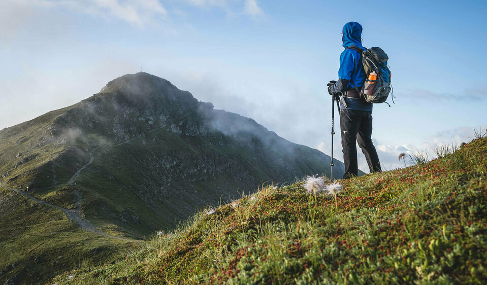
The "Karnische Höhenweg" trail

the great mountain experience!

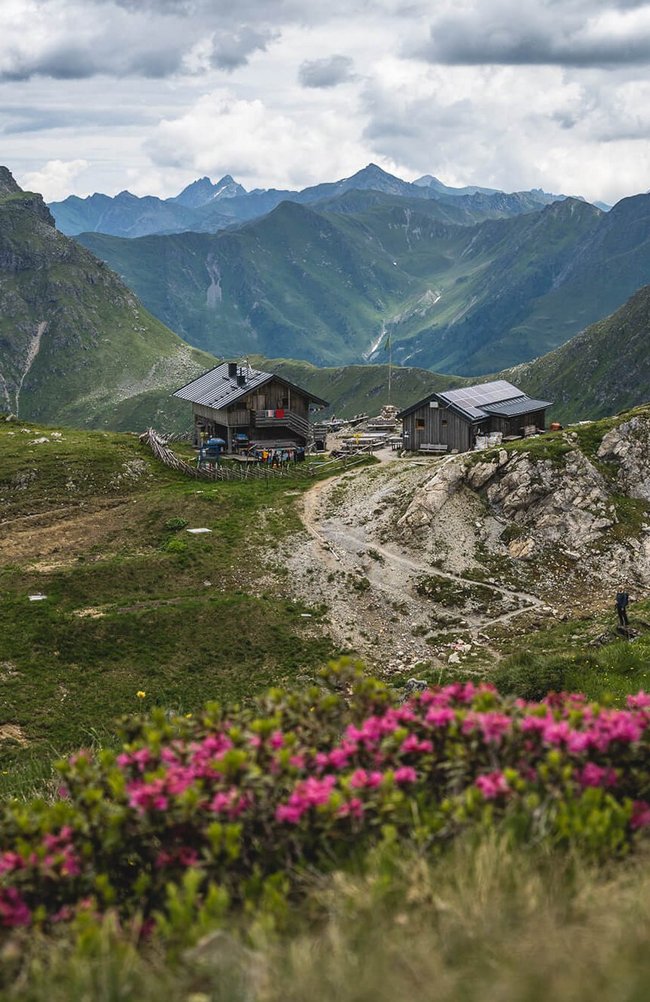
11 huts – 30 light hiking peaks - „Way of peace“ Nr. 403


The Karnische Höhenweg or "Way of peace" (KHW 403) leads along the entire Carnic ridge, which runs along the border between Austria and Italy. It is 156 km long from Sillian to Arnoldstein (approx. 105 km as the crow flies), divided into 8-11 daily stages, with a total walking time of 26.5 hours.


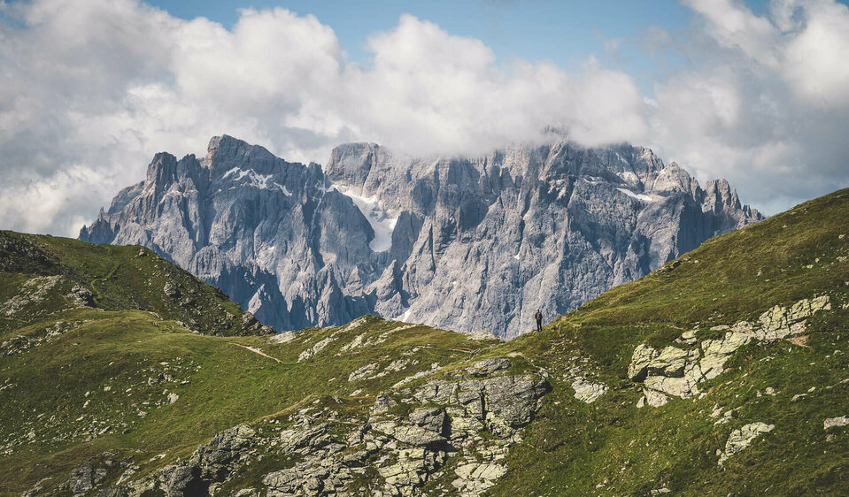
The slightly longer section east of the Plöckenpass offers a gentle mountain landscape with extensive alpine meadows and easy hiking mountains. To the west of the Plöcken Pass, the alpinistically interesting section stretches along the highest peaks of the Carnic Ridge. The nowadays completely unproblematic border between the EU countries Austria and Italy was a fiercely contested area just a few decades ago (during the First World War).


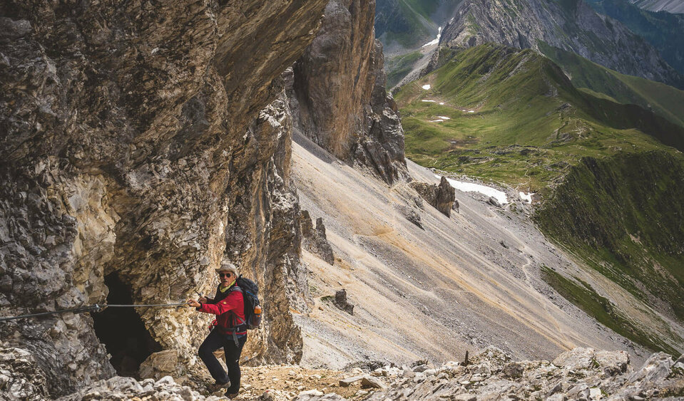
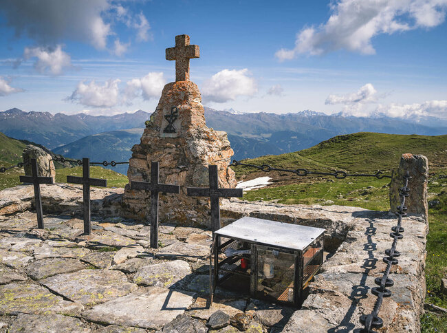
Numerous climbing installations, widely ramified trenches, remains of old positions, rock caverns hollowed out into bunkers and military cemeteries are reminders of the terrible times between 1915 and 1918.


At that time, thousands of men had to endure summer and winter at altitudes between 2,000m and 2,700m, carry up large quantities of ammunition and weapons and live in makeshift shelters in the most adverse conditions. In the process, many have lost their lives, often very young. In addition to enemy attacks, avalanche accidents, disease and frostbite also took their toll. The parts of the path that were destroyed over the course of decades have been restored since 1974 - to form a single connecting path that today serves to bring together mountain enthusiasts from all over the world.
back
Next
youtube video

Carnic altitude trail

starting point:
Dorfzentrum Sillian
highest point:
2678 m
total walking time
26:50 h
distance
150 km
🔋
altitude meters uphill
9100 hm
🞽
difficulty
average

The stages of the "Karnische Höhenweg" trail

Carnic altitude trail. Stage 1: Arnbach - Sillianer Hütte

starting point:
Dorfzentrum Sillian
destination point:
Sillianer Hütte
highest point:
2447 m
distance
9.5 km
🔋
altitude meters uphill
1350 hm
🞽
difficulty
easy

Carnic altitude trail. Stage 2: Sillianer Hütte- Obstansersee Hütte

starting point:
Sillianer Hütte
destination point:
Obstansersee Hütte 2304m
highest point:
2644 m
distance
8.7 km
🔋
altitude meters uphill
503 hm
🞽
difficulty
average

Carnic altitude trail. Stage 3: Obstansersee Hütte – Porzehütte

starting point:
Obstansersee Hütte
destination point:
Porzehütte
highest point:
2678 m
total walking time
6 h
distance
11.3 km
🔋
altitude meters uphill
650 hm
🞽
difficulty
average

Carnic altitude trail. Stage 4: Porzehütte – Hochweißsteinhaus

starting point:
Porzehütte
destination point:
Hochweißsteinhaus
highest point:
2485 m
distance
16.9 km
🔋
altitude meters uphill
1302 hm
🞽
difficulty
difficult

Further daily stages

5. Day: Hochweißsteinhaus - Wolayersee-Hütte ca. 6 hours
6. Day: Wolysersee-Hätte - Untere Valentin Alm ca. 2,5 hours
7. Day: Untere Valentin Alm - Zollnersee Hütte ca. 6,5 hours
8. Day: Zollnersee Hütte - Straniger Alm ca. 3 hours
9. Day: Straniger Alm - Alpenhof Plattner ca. 6,5 hours
10. Day: Alpenhof Plattner - Egger Alm ca. 4,5 hours
11. Day: Egger Alm - Gasthaus Starhand ca. 3,5 hours


With challenging summit climbs, e.g.  Große Kinigat, Filmoorhöhe, Porze, Monte Peralba, Hohe Warte etc. (partly on fixed rope routes), a 2 -3 day extension is recommended – with aditional overnights at the Filmoorhütte or at the Unteren Valentin Alm.

Most of the huts have to be reserved online, as there is only limited sleeping space available! On www.alpenverein.at you can find all the Alpine Club huts and their contact details

Maps and hiking guides available in the tourist offices of the region

available in the tourist offices of the region

  1. Wanderkarte Hochpustertal, 1:25000, tear and weather proof, map section from Sillian to the Wolayersee hut, Euro 10,00
  2. Rother Wanderführer Karnischen Höhenweg, from Sillian to Thörl-Maglern with different variants and peaks, Euro 15,40
Guided mountain tours

The mountain guides in Osttirol are the professionals when it comes to a safe, eventful tour to one of the numerous peaks.


Your way to the summit experience

You may also be interested in

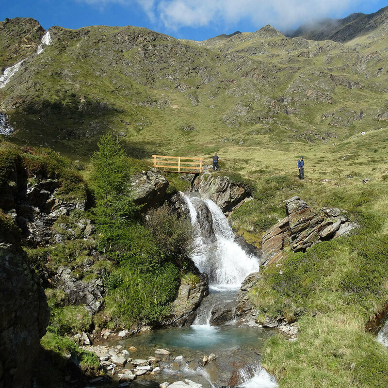
Schrentebach Wasserfall
Herz-Ass Villgraten trail
Newsletter

Subscribe to our newsletter and receive the best tips every month for current offers, mountain tours, events and much more.