Winter hiking trail Hinteraue

Winter hiking in the National Park Hohe Tauern

The most important at a glance

distance
3.7 km
altitude meters uphill
🔋
35 m
altitude meters downhill
🔋
35 m
total walking time
1:10 h
highest point
🞍
970 m
difficulty
🞽
easy
state:
closed
fitness:

* * * * *

🞙🞙🞙🞙🞙

public transport:

951 Matrei i.O. Korberplatz

parking:

Parkplatz Korberplatz, Parkplatz Kreuzgbühel gebührenplflichtig

starting point:
Parkplatz Kreuzbühel
destination point:
Parkplatz Kreuzbühel
best season:
JAN, FEB, MAR, DEC
route typ:
circuit family tour

arrival

Stop

Matrei i. O. Korberplatz

Parking spot

Car park Korberplatz

Parkplatz Kreuzbühel

altitude profile

Pdf file

Gpx file

Interactive map

Current weather conditions

Schnee-01-02-03.png

1°C/34°F °C

Description

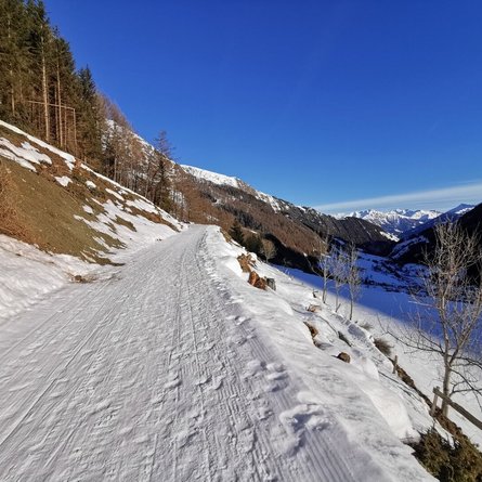
The Hinteraue circular hiking trail starts at the Kreuzbühel car park and leads along a field path to "Hinteraue". This extensive area is ideal for taking a winter hike with your family due to its flat, large fields. The distinctive rows of trees (popularly known as "wind belts") in this area protect the surrounding fields from the "Tauernwind". The glittering rays of the sun are reflected in the frozen Tauernbach stream and the quiet splashing makes you feel calm.

Newsletter

Subscribe to our newsletter and receive the best tips every month for current offers, mountain tours, events and much more.