Wetterkreuz

The most important at a glance

distance
7 km
altitude meters uphill
🔋
380 m
total walking time
3 h
highest point
🞍
2611 m
difficulty
🞽
easy
fitness:

* * * * *

🞙🞙🞙🞙🞙

technique:

* * * * *

🞙🞙🞙🞙🞙

parking:

Parkplatz Obwurzen

starting point:
Oberwurzen
destination point:
Gabesitten
best season:
JAN, FEB, MAR, APR, DEC

altitude profile

Pdf file

Gpx file

Interactive map

Current weather conditions

Sonne-01.png

20°C/68°F °C

Description

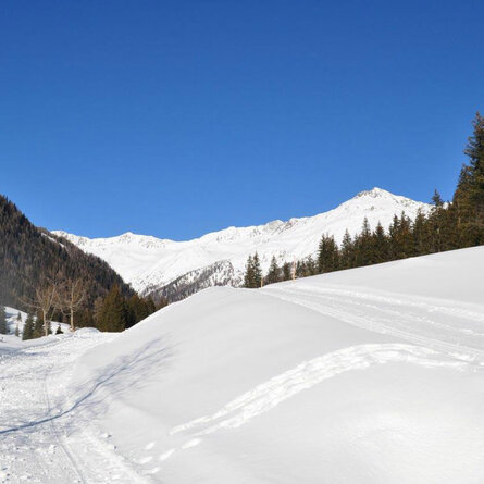
The starting point is the car park at the Oberwurzen farms in Ausservillgraten - Versellerberg (1,720 m). From there, first follow the forest road and turn left at the second hairpin bend. Then continue, initially slightly uphill, later in several hairpin bends uphill to a clearing (2,040 m) with a cross and viewpoint of the Dolomites and Villgraten mountains. For experienced snowshoe hikers, the tour can optionally be extended to the summit of Gabesitten (2,665 m). The ascent follows the ski touring trail. The way back is the same as the ascent.

Newsletter

Subscribe to our newsletter and receive the best tips every month for current offers, mountain tours, events and much more.