Tschadinhorn

The most important at a glance

walking time uphill
5:30 h
walking time downhill
6 h
total walking time
10 h
difficulty
🞽
difficult
fitness:

* * * * *

🞙🞙🞙🞙🞙

technique:

* * * * *

🞙🞙🞙🞙🞙

public transport:

At the busstop Lesacherhof than taking hiking path nr. AV 912 within about 2,5 hours directly to Lesachalm.

parking:

Private parking in Oberlesach at Amraserhof. € 3,00/day or in Unterlesach without fee.

starting point:
Kals/Oberlesach
destination point:
Kals/Oberlesach
best season:
JUL, AUG, SEP

altitude profile

Pdf file

Gpx file

Interactive map

Current weather conditions

Sonne-03.png

-6°C/21°F °C

Description

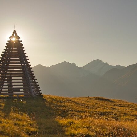
This 3.000m top situated in the Schobergroup is less frequented. Taking the hiking path nr. 60b and AV 912 or the track nr. 60 into the Kalser Lesachtal to the Lesachalm. Than leads the hiking path nr. 65 and 65a to the top. There is a overwhelming view over the whole valley of Kals, to the Großglockner and far into the Schobergroup. Well known neighbours are the Schönleitenspitze and Böses Weibl.

On the way to the top there are small lakes called Zelockssee at a level of 2.600 m.

Newsletter

Subscribe to our newsletter and receive the best tips every month for current offers, mountain tours, events and much more.