Thiemeweg

The most important at a glance

distance
16 km
altitude meters uphill
🔋
790 m
altitude meters downhill
🔋
790 m
walking time uphill
3 h
total walking time
5:30 h
highest point
🞍
1450 m
difficulty
🞽
average
fitness:

* * * * *

🞙🞙🞙🞙🞙

technique:

* * * * *

🞙🞙🞙🞙🞙

starting point:
Proßegg 980m
destination point:
Kräuterwirtshaus Strumerhof 1.451m
best season:
MAY, JUN, JUL, AUG, SEP, OCT
route typ:
family tour

arrival

Parking spot

Parkplatz Kreuzbühel

altitude profile

Pdf file

Gpx file

Interactive map

Current weather conditions

Schnee-01-02-03.png

0°C/32°F °C

Description

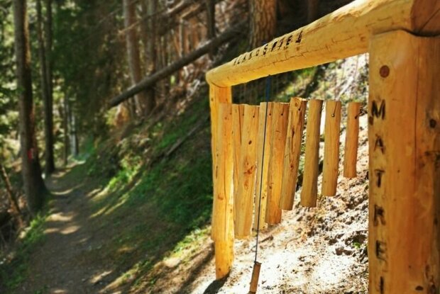
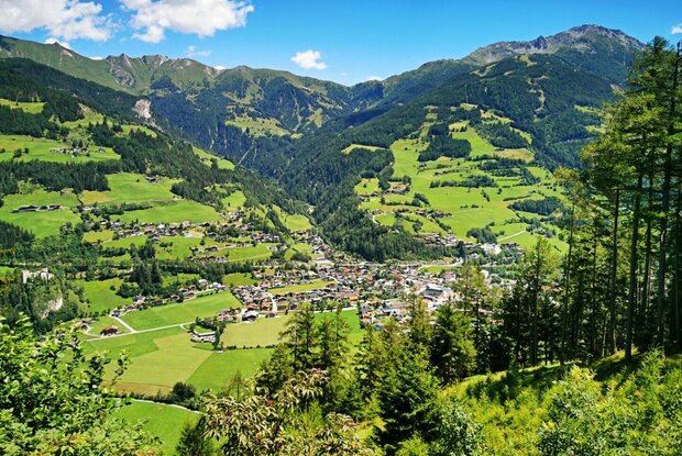
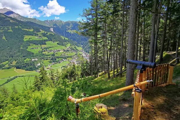
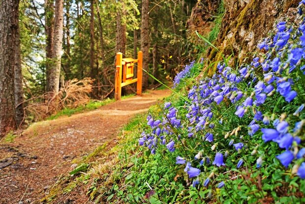
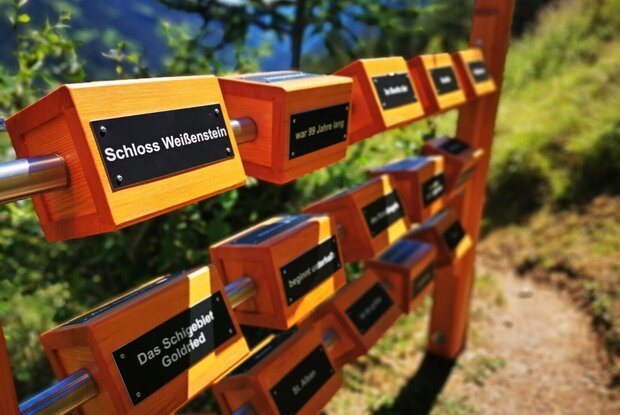
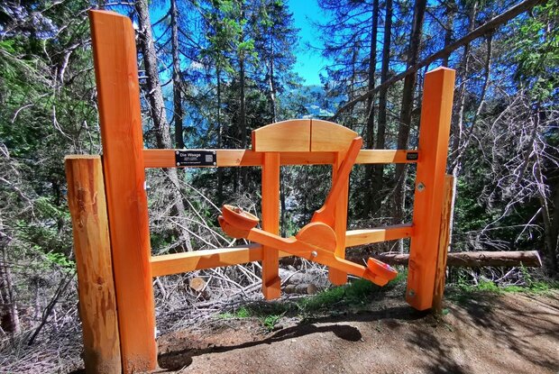
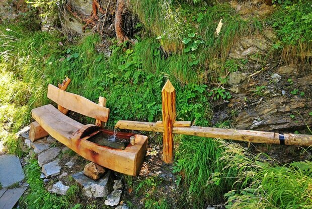
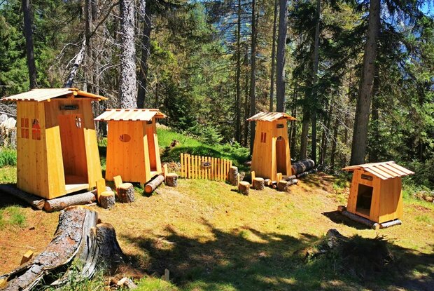
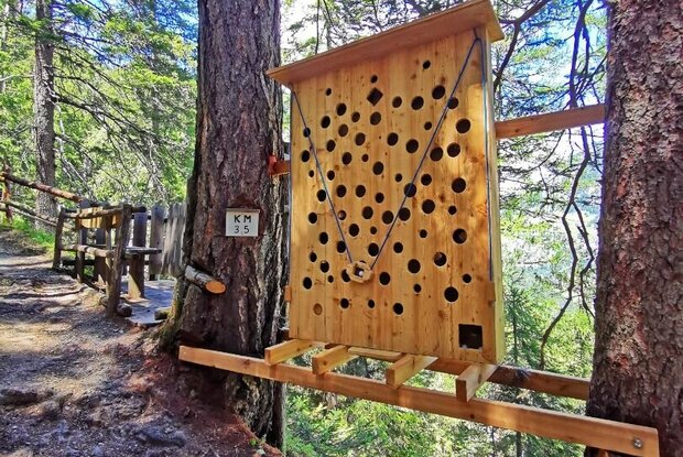
On the Thiemeweg, you walk along historic paths, as it is already over 100 years old. Several ‘pause stations’ now breathe new life into the path. These play stations (weighing game, ball game, water pipes, gnome village, harp game, alphorns, firecrackers,...) are an absolute highlight, especially for children. The trail can be reached either from the Proßegg district or from Zedlacher Straße. However, the variant via Proßegg is only recommended for experienced hikers who are sure-footed! The trail then leads along a gently ascending path to the mountain village of Zedlach and ends at the Strumerhof herb inn.

Newsletter

Subscribe to our newsletter and receive the best tips every month for current offers, mountain tours, events and much more.