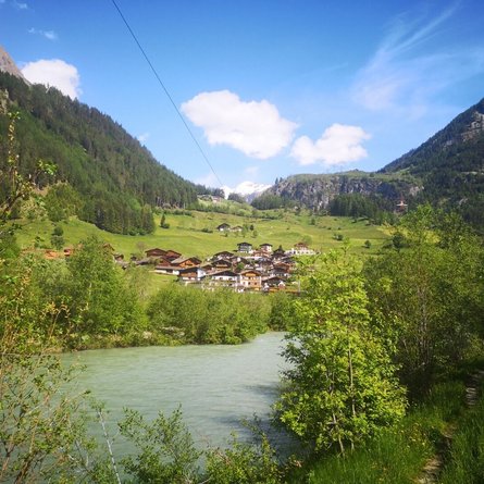
The Gailtaler Höhenweg (Nr. 229) leads in the south of the Lienz Dolomites and in the western wing of the Gailtal Alps through one of the most beautiful areas of the East Tyrolean and Carinthian mountains - through the impressive natural and cultural landscapes of the Tyrolean Gail and Lesach valleys. Bordered in the north by the Pustertal valley and in the south by the Tyrolean Gail and Lesachtal valleys, the long-distance hiking route is considered a gentle counterpart to the Carnic High Trail (Friedensweg 403). The only overnight accommodation is at the "Connyalm" in the Golzentipp hiking area in Obertilliach. From the Lotteralm at the Landers border to Carinthia, this long-distance hiking trail is unfortunately no longer maintained and the infrastructure along this actually very beautiful trail is also very limited. Only adventure holidaymakers who want to spend the night in their own tent can make their way towards the Gailberg Sattel.
Menu


