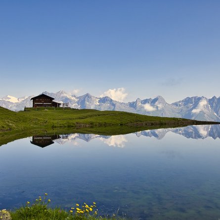
Rundwanderung Parditsboden - Spitzköfele - Bärenbadegg - Porzehütte - Parditsboden-

The most important at a glance

distance
13.6 km
altitude meters uphill
🔋
1100 m
altitude meters downhill
🔋
1870 m
total walking time
5:15 h
highest point
🞍
2425 m
difficulty
🞽
average
fitness:

* * * * *

🞙🞙🞙🞙🞙

technique:

* * * * *

🞙🞙🞙🞙🞙

parking:

Parkplatz Dorfertal

starting point:
Parkplatz Dorfertal
destination point:
Pfaffenboden
best season:
JUN, JUL, AUG, SEP
route typ:
circuit

altitude profile

Pdf file

Gpx file

Interactive map

Current weather conditions

Schnee-01-02-03.png

0°C/32°F °C

Description

We are heading off for our tour in front of a small bridge at "Pfaffenboden", where we follow the path number 119 until we reach "Parditsboden". There we have to take the left leading us to the crest. Starting from this point, we take the left again unti we arrive at the summit of the "Spitzköfele". Then we follow the same way back to the "Karnischer Höhenweg". After we have passed some remains of trenches from the first world war we descend to the "Tilliacher Joch" and from there, we follow the way back to the "Porzehütte". To get back to our starting point we either take the trail number 18 or we follow the forest road in direction "Klapfsee" until we reach "Pfaffenboden".  

Newsletter

Subscribe to our newsletter and receive the best tips every month for current offers, mountain tours, events and much more.