Rotstein

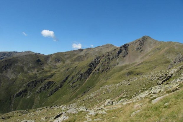
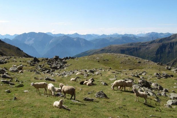
The Rotstein is a wonderful viewing mountain in the Deferegger Alps. The view extends from the Lienz Dolomites in the south-east to the Schober group and the Glockner group in the north.

The most important at a glance

distance
9.9 km
altitude meters uphill
🔋
990 m
altitude meters downhill
🔋
992 m
walking time uphill
2:30 h
walking time downhill
2 h
total walking time
4:30 h
highest point
🞍
2690 m
difficulty
🞽
average
fitness:

* * * * *

🞙🞙🞙🞙🞙

technique:

* * * * *

🞙🞙🞙🞙🞙

public transport:

Dienstags mit dem Wanderbus Lienzer Dolomiten.

parking:

Parkplatz Pedretscher Kaser

starting point:
Parkplatz Wilferntal
destination point:
Rotstein
best season:
APR, MAY, JUN, JUL, AUG, SEP

arrival

Parking spot

Parkplatz Pedretscher Kaser 1.700m

altitude profile

Pdf file

Gpx file

Interactive map

Current weather conditions

Schnee-01-02-03.png

0°C/32°F °C

Description

From Lienz by car to Thal, then bear right on the Pustertaler Höhenstraße road to Assling Wildlife Park. Take a right there to Wilfernertal, passing the Warscherbauer to the head of the valley at Wilfernertal, 1701m. ‘Parking available’. From the car park across the bridge, heading north, up the agricultural road to Huber Kaser, take a left here, continue in a northerly direction to the Wilfernerlacke. Continue up to the wind gap between Schlaitenkofel and Rotstein, via the easy climb on the eastern ridge up to the summit, 2702m.

Newsletter

Subscribe to our newsletter and receive the best tips every month for current offers, mountain tours, events and much more.