Sometimes you have to climb over fallen trees or walk underneath them. Make sure you wear sturdy (waterproof) footwear, as you have to cross some wet spots on the mountain meadows.
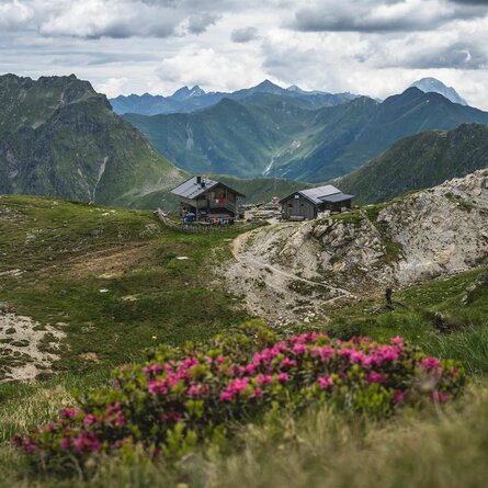
From the tourist office, the path first leads to the centre of the village and then left up to the northern edge of the village. Behind the last house, we turn right and follow a somewhat steeper path through the forest up to the "Bannwaldweg". We pass the gondola lift track and follow the Bannwaldweg until, just before a large clearing, path no. 43c branches off to the left again. Firstly, briefly through a section of forest and then across open, flower-filled mountain meadows almost flat until you reach another passage through the forest. We then return via an unfortunately increasingly narrow path across relatively steeply sloping mountain meadows towards the Rals descent. Here we keep left and follow the forest path downhill towards Rals, where we can stop for refreshments at the snack station and enjoy the view.
We continue the hike in an easterly direction, initially along the tarmac municipal path, and continue straight ahead at the bend along a field path towards "Schoade" to Gärberbach and on to "Bachhäusl". After the road subway, pass Haus Waldfrieden and then keep right. Walk back along the field path past the two chapels in the direction of Obertilliach.