The car park and bus stop at the Matreier Tauernhaus is around an hour away from the start and finish of the tour. This route can be covered either on foot, with the Gschlösser panorama train or a taxi shuttle.
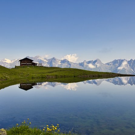
The high-altitude circular trail is relatively easy and offers, in addition to many natural beauties, an incomparable view of the Schlatenkees and the main area of the Venedigergr. The hike is an unforgettable holiday experience. Good weather and dry path conditions are a prerequisite. At Hinteren Gschlößboden, approx. 500m after the Innergschlöß alpine pasture settlement, the Ochsenwaldweg branches off to the right of the road, leads up into the sparse forest (beautiful Swiss stone pine trees) and continues in serpentines to the lower limit of the Ochsenalm. From there, above the forest line, you walk constantly in a northerly direction to the highest point (about 2,000 m) of the wide ridge. The path now leads downhill, into the Viltragen valley and down to the Viltragenbach stream, and out of the valley reaches the road to Innergschlöß.


