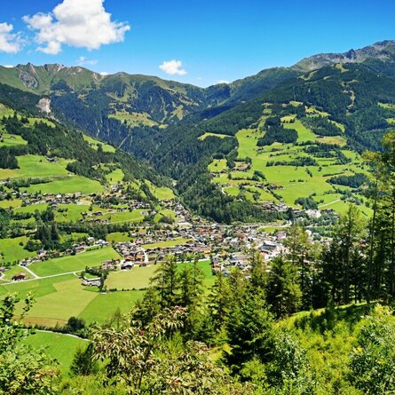
Oberseitsee - Seespitze 3.021 m

The most important at a glance

distance
14.4 km
altitude meters uphill
🔋
1310 m
altitude meters downhill
🔋
1310 m
walking time uphill
5 h
walking time downhill
3:30 h
total walking time
8:30 h
highest point
🞍
3021 m
difficulty
🞽
difficult
fitness:

* * * * *

🞙🞙🞙🞙🞙

technique:

* * * * *

🞙🞙🞙🞙🞙

public transport:

Bushaltestelle St. Jakob i. D. Gemeindeamt

parking:

Parkplatz Trogach

starting point:
Trogach
destination point:
Seespitze
best season:
JUN, JUL, AUG, SEP

arrival

Parking spot

Car park Trogach 1.700m

altitude profile

Pdf file

Gpx file

Interactive map

Current weather conditions

Sonne-01.png

20°C/68°F °C

Description

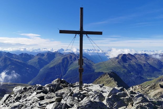
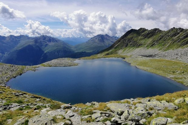
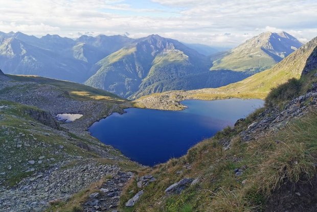
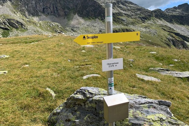
From Trogach on the forest trail to Gasserkofel, continuing via the meadow slopes to the Seespitzhütte (2327 m). There is a signposted path to the superb Oberseitsee (2576 m), which formed into a wide corrie trough after the glaciers retreated. To the west, past the lake, a steep path with a rope-secured section to the summit of the Seespitze, the most impressive viewing mountain on the Panargen ridge.

Newsletter

Subscribe to our newsletter and receive the best tips every month for current offers, mountain tours, events and much more.