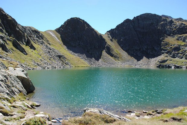
Lake Schwarzsee

The most important at a glance

distance
7.8 km
altitude meters uphill
🔋
790 m
altitude meters downhill
🔋
790 m
walking time uphill
3:30 h
total walking time
3:30 h
highest point
🞍
2453 m
difficulty
🞽
average
fitness:

* * * * *

🞙🞙🞙🞙🞙

technique:

* * * * *

🞙🞙🞙🞙🞙

public transport:

Mit dem Herz-Ass Wandertaxi bis zur Unterstaller Alm

parking:

Parkplatz Unterstaller Alm - kostenpflichtig

starting point:
Jausenstation Unterstalleralm
destination point:
Jausenstation Unterstalleralm
best season:
JUN, JUL, AUG, SEP
route typ:
circuit

arrival

Parking spot

Car park Unterstalleralm 1.670m

altitude profile

Pdf file

Gpx file

Interactive map

Current weather conditions

Schnee-01-02-03.png

0°C/32°F °C

Description

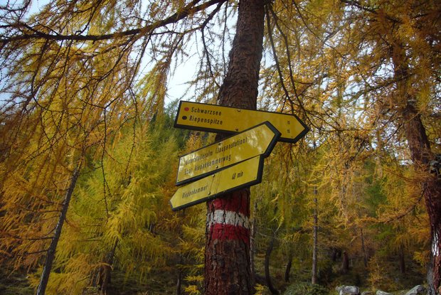
From the car park at Unterstalleralm route 15 proceeds in the bottom of the altitude valley via Arntaler Bach to a partly stony steep path with plenty of bends up to what is known as the Restlangarten at 2241 m. This rocky, Alpine ascent continues via ledges and boulders up to the mysterious, dark Schwarzsee (pay attention to the signposts!). Descent via the same route to Restlangarten, bear left there onto route 15a, which proceeds initially to one of the loveliest Alpine villages in East Tirol, Oberstalleralm, continuing then to Unterstalleralm.

Newsletter

Subscribe to our newsletter and receive the best tips every month for current offers, mountain tours, events and much more.