Skip to content

Kircher Alm

The most important at a glance

distance
11.5 km
altitude meters uphill
🔋
830 m
altitude meters downhill
🔋
590 m
walking time uphill
4 h
total walking time
4 h
highest point
🞍
2040 m
difficulty
🞽
easy
fitness:

* * * * *

🞙🞙🞙🞙🞙

technique:

* * * * *

🞙🞙🞙🞙🞙

public transport:

Mit dem Bus bis zur Haltestalle "Untertilliach Dorf"

starting point:
Untertilliach
destination point:
Untertilliach
best season:
MAY, JUN, JUL, AUG, SEP, OCT
route typ:
circuit

arrival

Stop

Untertilliach Kirche

altitude profile

Pdf file

Gpx file

Interactive map

Current weather conditions

Sonne-03.png

14°C/57°F °C

Description

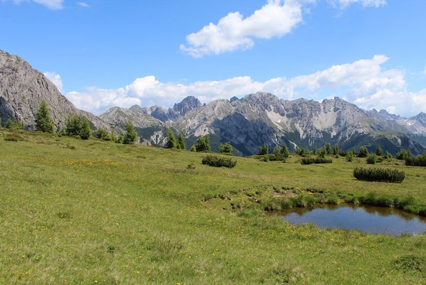
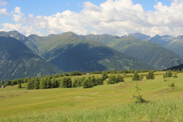
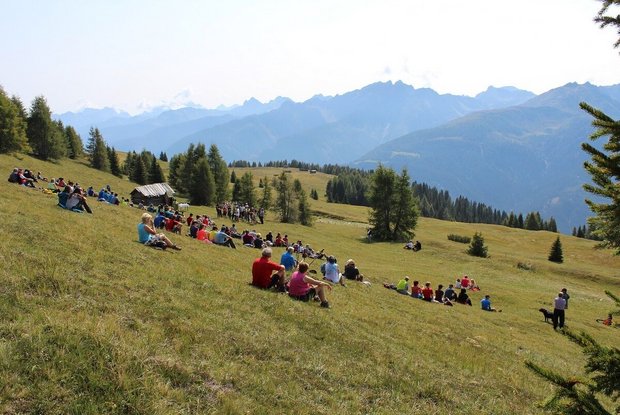
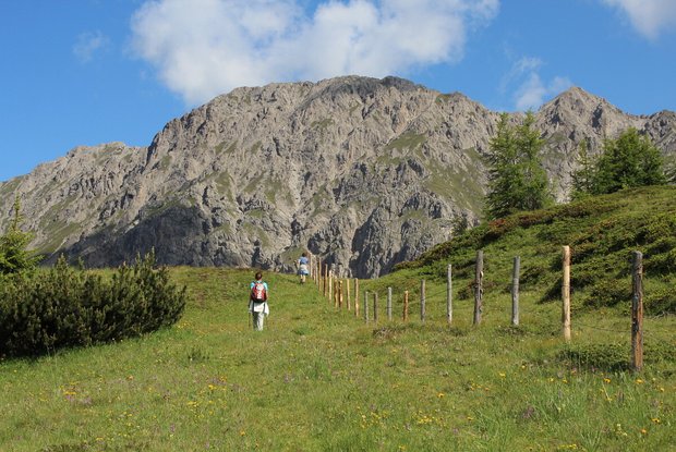
Circular hike up from the centre of Untertilliach up to the Kirchberg, continue to Kircher Alm above the tree limit, in a south-easterly direction down to Eggen and just before this, via an almost flat trail - which becomes a steep trail at the end - back to the old parish church on the Kirchberg.

Newsletter

Subscribe to our newsletter and receive the best tips every month for current offers, mountain tours, events and much more.

Title

Text