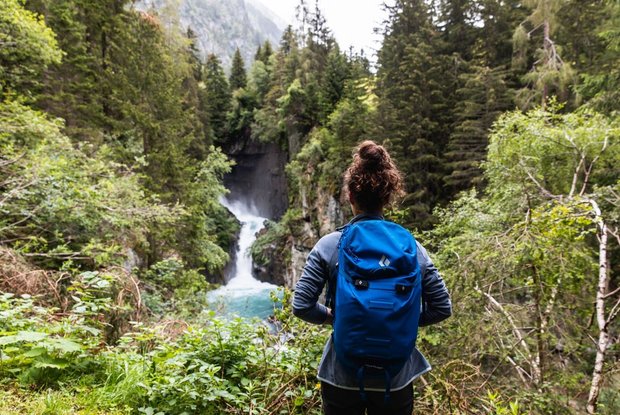
A good two kilometres after Hinterbichl, the Isel shows its wild face again: here, with an enormous roar, it plunges over several steps through the deeply cut Gloschlucht. Spray mist rises from the huge crevice. A rock pulpit offers a view of the massive cataracts.
A new spur trail and a viewing platform provide even deeper insights into this natural jewel
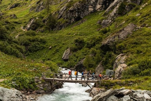
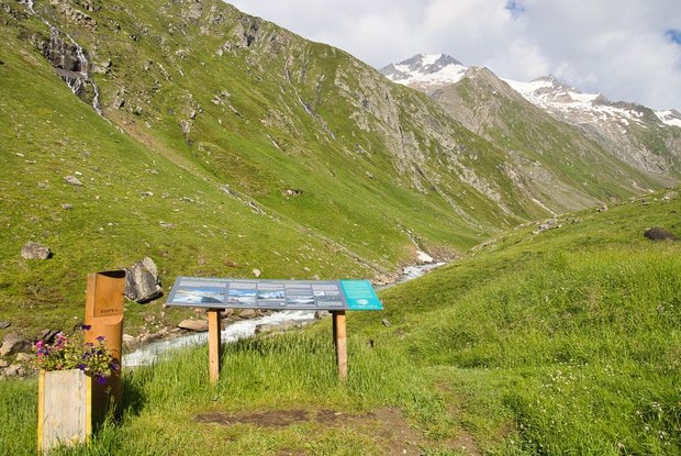
At Ströden (view from the bridge to the somewhat higher Ströden cataract), the Iseltrail joins the road that takes you to the famous waterfalls Umbalfälle and the hut Islitzeralm (refreshments). The waterfalls are the gateway to the high alpine wilderness of the Hohe Tauern National Park. The award-winning "Wasserschaupfad" (water show path) with several viewing platforms lets you get up close to the dramatic force of the water. The equally impressive upper falls can currently only be glimpsed from the path.
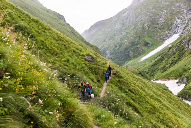
Above the cataracts, the traces of civilisation are visibly disappearing: wide, treeless high valleys and glaciers shining down from the heights dominate the scenery on the way to the hut Clarahütte. Here you can spend the night. The hut is built spectacularly into the slope because of the danger of avalanches and falling rocks. If you want to spend the night here, you should definitely reserve a place to sleep in good time.


