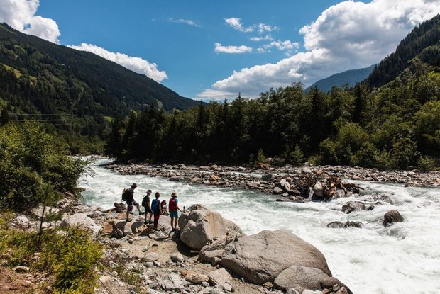
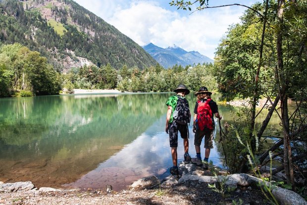
The Iseltrail runs right next to the lively river, whose water appears milky blue-green due to suspended particles from the rock abrasion of the glaciers. The water level changes in the course of the day due to the melt water released by the glaciers in the headwaters: the water force increases noticeably in the afternoon.
Above Huben, the Iseltal becomes narrower and the Isel wilder: Most of the Isel no longer has flood protection dams here and can therefore constantly change its wide gravel bed. The pioneer habitats that are continuously created in this way are colonised by rare species such as the German tamarisk.
The cataracts near Feld are the first harbingers of the powerful, alpine Isel in its upper reaches.
The glacier river plunges here with imposing force over large boulders and gradients. The view over the wild river landscape and the mountains towering above it is fairy-like.
In Feld there is a place to stop for refreshments and rooms.
The trail to Matrei first leads through the forest past the mill and farms before taking the subway near the M-Preis grocery shop. Past the heliport, following the street Virgentalstraße, you finally turn left at the transformer into the street Bichler Straße. The bridge Bichler Brücke marks the stage finish.


