Hochspitz 2,581 m

The most important at a glance

distance
8.8 km
altitude meters uphill
🔋
1350 m
walking time uphill
4 h
walking time downhill
3 h
total walking time
7 h
highest point
🞍
2581 m
difficulty
🞽
difficult
fitness:

* * * * *

🞙🞙🞙🞙🞙

technique:

* * * * *

🞙🞙🞙🞙🞙

public transport:

Mit dem Bus bis zur Haltestelle "Untertilliach Winkl"

parking:

Parkplatz Soldhäuser

starting point:
Soldhäuser Untertilliach/Winkl
destination point:
Hochspitz
best season:
JUN, JUL, AUG, SEP, OCT

arrival

Stop

Untertilliach Winkl

altitude profile

Pdf file

Gpx file

Interactive map

Current weather conditions

Sonne-04.png

1°C/34°F °C

Description

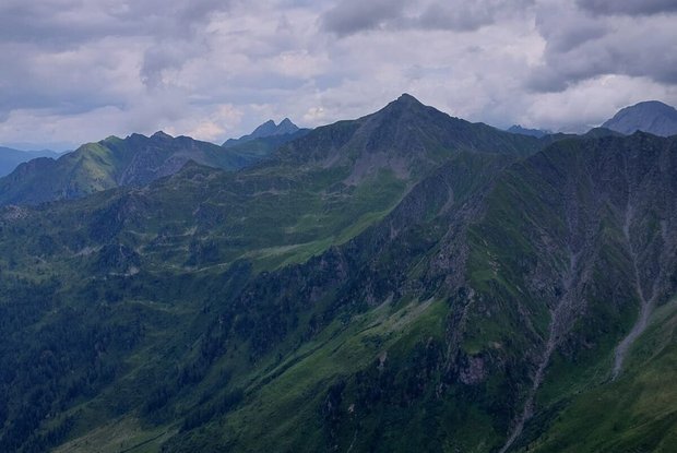
The route proceeds from the head of the valley in the Winklertal, winding up to the Hochspitzsenke and is of moderate difficulty level. The summit is reached from the Italian side via the steep southern flanks, which is a relatively steep route. Surefootedness and a head for heights required! The view on the summit is impressive and beautiful, in particular in the strange rock formations of the southern mountain chains beneath the Italian skies.


Newsletter

Subscribe to our newsletter and receive the best tips every month for current offers, mountain tours, events and much more.