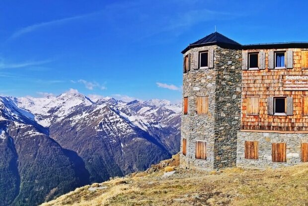
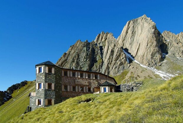
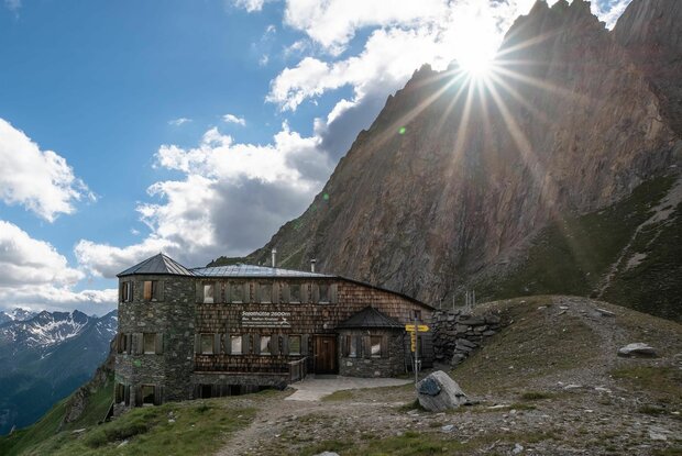
Hiking tour to Neue Sajathütte 2.600m

The most important at a glance

distance
10.3 km
altitude meters uphill
🔋
1080 m
altitude meters downhill
🔋
1090 m
walking time uphill
4 h
walking time downhill
2:50 h
total walking time
6:50 h
highest point
🞍
2600 m
difficulty
🞽
average
fitness:

* * * * *

🞙🞙🞙🞙🞙

technique:

* * * * *

🞙🞙🞙🞙🞙

public transport:

Prägraten a.G. Gemeindeamt

parking:

Parking place Sajat-/Stabanthütte

starting point:
Parking place Sajat-/Stabanthütte
destination point:
Parking place Sajat-/Stabanthütte
best season:
MAY, JUN, JUL, AUG, SEP, OCT

arrival

Stop

Prägraten a. G. Gemeindeamt

altitude profile

Pdf file

Gpx file

Interactive map

Current weather conditions

Sonne-04.png

1°C/34°F °C

Description

This moderately difficult hiking tour starts from the parking place Sajat-/Stabanthütte. First you hike alternately along the hiking trail and the road until the latter branches off. At the turning-off, you have to take the steeper path to the right. The path leads briefly through the forest and then across the meadows up to the hut Neue Sajathütte.

Newsletter

Subscribe to our newsletter and receive the best tips every month for current offers, mountain tours, events and much more.