Hiking tour to Lasnitzenhütte

The most important at a glance

distance
10.1 km
altitude meters uphill
🔋
620 m
altitude meters downhill
🔋
620 m
walking time uphill
2:45 h
walking time downhill
1:50 h
total walking time
4:35 h
highest point
🞍
1910 m
difficulty
🞽
easy
fitness:

* * * * *

🞙🞙🞙🞙🞙

technique:

* * * * *

🞙🞙🞙🞙🞙

public transport:

Prägraten a.G. Gemeindeamt

parking:

Parking place Sägewerk

starting point:
Parking place Sägewerk
destination point:
Parking place Sägewerk
best season:
JUN, JUL, AUG, SEP, OCT

arrival

Stop

Prägraten a. G. Gemeindeamt

Parking spot

Parkplatz Sägewerk Prägraten a.G.

altitude profile

Pdf file

Gpx file

Interactive map

Current weather conditions

Sonne-01.png

20°C/68°F °C

Description

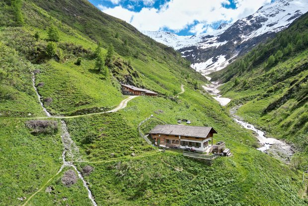
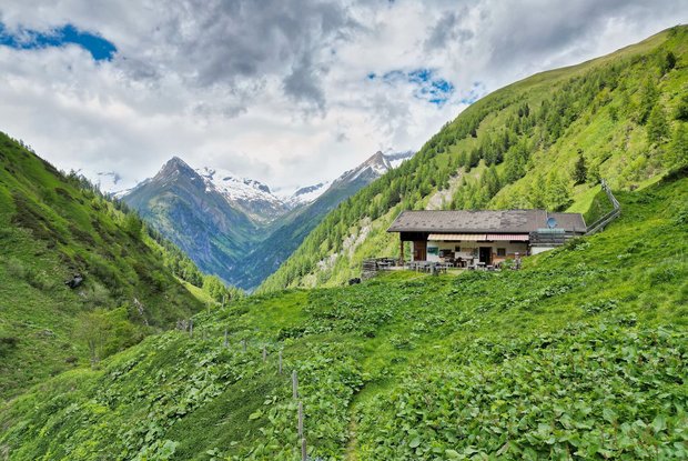
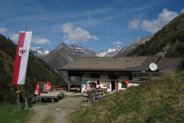
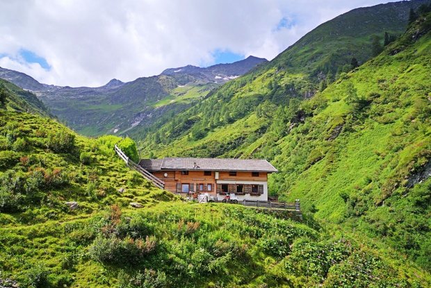
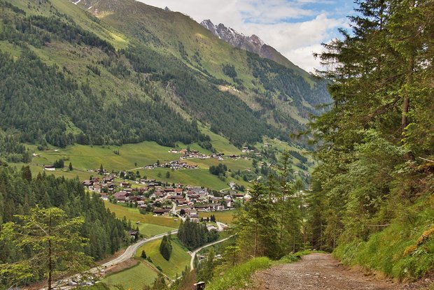
The starting point for this hiking tour is the parking place "Sägewerk". From there you first follow the asphalt road in a southerly direction. Then you cross a bridge and soon enter the forest. Stay on the forest road and always orientate yourself along the valley Lasnitzental. At the end of your adventure, hike up along the stream Lasnitzenbach and follow the forest road to the hut Lasnitzenhütte (1.900 m), which once again leads into a narrow path shortly right before the arrival.

Newsletter

Subscribe to our newsletter and receive the best tips every month for current offers, mountain tours, events and much more.