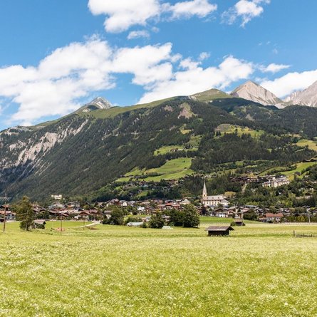
Hike to Speikbodenhütte 2.050m

Easy hiking tour on the sunny side of Defereggental

The most important at a glance

distance
5.37 km
altitude meters uphill
🔋
550 m
altitude meters downhill
🔋
550 m
walking time uphill
1:50 h
walking time downhill
1:30 h
total walking time
3:20 h
highest point
🞍
2050 m
difficulty
🞽
easy
fitness:

* * * * *

🞙🞙🞙🞙🞙

public transport:

Bushaltestelle St. Veit in Defereggen Dorf

parking:

Parkplatz Oberholz

starting point:
Parkplatz
destination point:
Parkplatz St. Veit
best season:
JUN, JUL, AUG, SEP, OCT

arrival

Stop

St. Veit i. D. Kirche

Parking spot

Car park St. Veit

altitude profile

Pdf file

Gpx file

Interactive map

Current weather conditions

Sonne-01.png

20°C/68°F °C

Description

Starting from the carpark at the community office of St. Veit i. Defereggen, walk towards the district of Gsaritzen from where a shorter path and the broader road way lead to Speikbodenhütte. Both tour variants are easy to hike and offer magnificent views all over Defereggental. Speikbodenhütte is located on 2,050 metres above sea level and provides not only a sun deck but also many culinary highlights.

Newsletter

Subscribe to our newsletter and receive the best tips every month for current offers, mountain tours, events and much more.