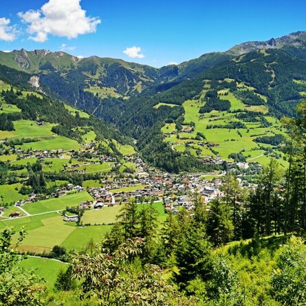
Hike to Glorerhütte

The most important at a glance

distance
8.3 km
altitude meters uphill
🔋
723 m
altitude meters downhill
🔋
723 m
walking time uphill
2 h
walking time downhill
2 h
total walking time
4 h
highest point
🞍
2462 m
difficulty
🞽
average
fitness:

* * * * *

🞙🞙🞙🞙🞙

technique:

* * * * *

🞙🞙🞙🞙🞙

starting point:
Parkplatz Glocknerwinkel
destination point:
Parkplatz Glocknerwinkel
best season:
JUN, JUL, AUG, SEP, OCT

arrival

Stop

Kals a. G. Lucknerhaus

Parking spot

Parking area Glocknerwinkel

altitude profile

Pdf file

Gpx file

Interactive map

Current weather conditions

Sonne-01.png

20°C/68°F °C

Description

Starting point is Glocknerwinkel car park - AV Weg 714 branches off from there, and you hike a beautifully laid path in turns up wide lawn slopes. End moraines testify to the former glacial activities.


The path is accompanied by a geomorphological nature trail, to which a natural history guide can be obtained from the tourist office or at the national park information point, and which describes the special features of this alpine high valley.


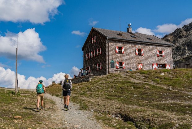
At the saddle - the Bergertoerl, you will find the Glorerhuette, which is an important point of passage for many other delightful tours into the Glockner and Schober area and which is also perfect for various round tours.
Newsletter

Subscribe to our newsletter and receive the best tips every month for current offers, mountain tours, events and much more.