Gr. Degenhorn

The most important at a glance

distance
13 km
altitude meters uphill
🔋
1130 m
altitude meters downhill
🔋
1130 m
walking time uphill
3:30 h
walking time downhill
3 h
total walking time
6:30 h
highest point
🞍
2920 m
difficulty
🞽
difficult
fitness:

* * * * *

🞙🞙🞙🞙🞙

technique:

* * * * *

🞙🞙🞙🞙🞙

public transport:

Mit dem Wandertaxi bis zur Volkzeiner Hütte

parking:

Parkplatz Volkzeiner Hütte

starting point:
Volkzeiner Hütte
destination point:
Gr. Degenhorn
best season:
JUN, JUL, AUG, SEP

arrival

Parking spot

Car park Volkzeiner Hütte 1.880m

altitude profile

Pdf file

Gpx file

Interactive map

Current weather conditions

Sonne-01.png

20°C/68°F °C

Description

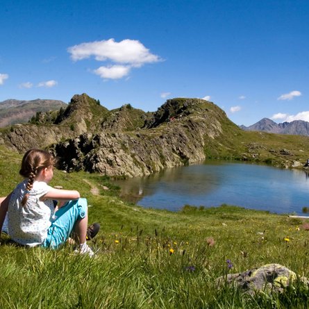
From Volkzeinerhütte via the Heimkaralm, which is located in a valley terrace, past the waterfall in the Untere and Obere Schrentenbachboden. At the Ochsenlenke junction bear left to the tranquil Degenhornsee and continue left across the Kleine Degenhorn and a narrow ridge to the summit (Tirol Jubilee trail). Descent as the ascent, or via Oberstalleralm to Innervillgraten.

Newsletter

Subscribe to our newsletter and receive the best tips every month for current offers, mountain tours, events and much more.