Circular hike via the Scharwiese high trail

The most important at a glance

distance
5 km
altitude meters uphill
🔋
251 m
altitude meters downhill
🔋
247 m
total walking time
2 h
difficulty
🞽
average
fitness:

* * * * *

🞙🞙🞙🞙🞙

technique:

* * * * *

🞙🞙🞙🞙🞙

public transport:

Mit dem Bus bis zur Haltestelle "Obertilliach Dorf"

parking:

Parkplatz Golzentippbahn

starting point:
Talstation Golzentippbahn
destination point:
Talstation Golzentippbahn
best season:
JUN, JUL, AUG, SEP
route typ:
circuit family tour

arrival

Stop

Obertilliach Ort

Parking spot

Car park Gondelbahn Obertillliach 1.450m

altitude profile

Pdf file

Gpx file

Interactive map

Current weather conditions

Sonne-01.png

20°C/68°F °C

Description

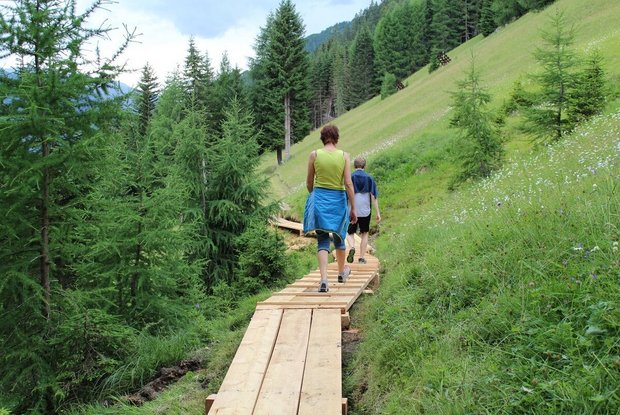
We are heading off for our tour at the cable car station in Obertilliach, which is situated directly under the local church. At first the mountain path leads us in the direction of Rals. Then, after approxiamtely 300 metres, we follow the path number 43a until we reach "Scharwiese". From there we take the mountain path number 43c until we reach "Gontscheidwiesen" and then we hike towards "Bannwaldweg". After we reach the cable car, there's a steeper path on the left which leads to the village or we choose the wider "Bannwaldweg" to get back to Obertilliach. 

Newsletter

Subscribe to our newsletter and receive the best tips every month for current offers, mountain tours, events and much more.