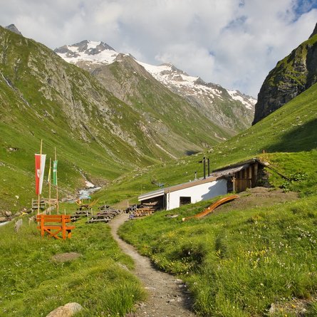
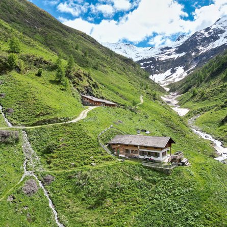
Border area hiking trail
Derzeit wegen Holzarbeiten zwischen Biathlonzentrum und Schwalen bei Leiten gesperrt!
The most important at a glance
distance
15.9 km
altitude meters uphill
210 m
altitude meters downhill
480 m
walking time uphill
4 h
total walking time
4 h
highest point
1632 m
difficulty
average
fitness:
* * * * *
🞙🞙🞙🞙🞙
technique:
* * * * *
🞙🞙🞙🞙🞙
public transport:
Mit dem Bus bis zur Haltestelle "Kartitsch Gemeindeamt"
parking:
Parkplatz Sportzentrum Kartitsch
starting point:
Kartitsch
destination point:
Untertilliach
best season:
MAY, JUN, JUL, AUG, SEP, OCT
arrival
Stop
Untertilliach Kirche
altitude profile
Current weather conditions
-3°C/27°F °C


