Auenweg to Hinterbichl

The most important at a glance

distance
6.7 km
altitude meters uphill
🔋
80 m
altitude meters downhill
🔋
80 m
walking time uphill
1 h
walking time downhill
1 h
total walking time
2 h
highest point
🞍
1340 m
difficulty
🞽
easy
public transport:

Prägraten a.G. Gemeindeamt

parking:

Prägraten a.G. Gemeindeamt

starting point:
TVB Infobüro Prägraten
destination point:
Hinterbichl Bushaltestelle
best season:
MAY, JUN, JUL, AUG, SEP, OCT
route typ:
family tour

arrival

Stop

Prägraten a. G. Gemeindeamt

Prägraten a. G. Hinterbichl

Parking spot

Car park local community Prägraten

Car park Hinterbichl 1.380m

altitude profile

Pdf file

Gpx file

Interactive map

Current weather conditions

Sonne-04.png

4°C/39°F °C

Description

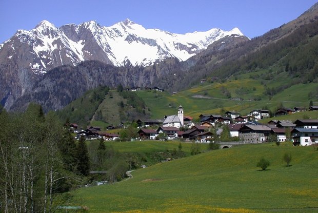
Starting point of this relaxing hiking trail is the tourist information office Prägraten a.G.. From there, walk along the pavement to the Pizzeria Petro and then take a sharp left turn. The municipal road now leads down to the bridge Dorferbrücke. Immediately after the bridge, turn right and walk past the "Freizeitanlagen" (ice hockey pitch etc.). Walk on the left side of the river Isel first to Unterfeld, continue to the farmhouse "Taxer Bauerngehöft" and further over the bridge to the district Hinterbichl.

Newsletter

Subscribe to our newsletter and receive the best tips every month for current offers, mountain tours, events and much more.