Bike and Hike in Osttirol

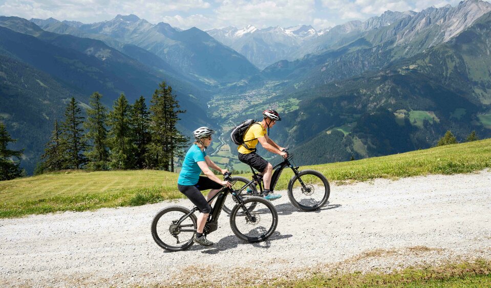
With the bike to your summit moment

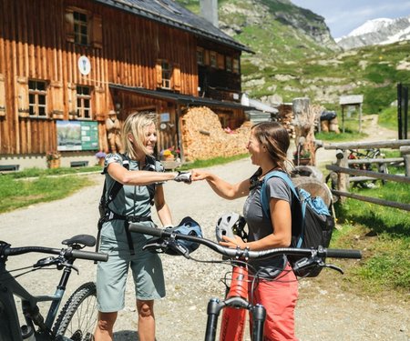
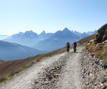
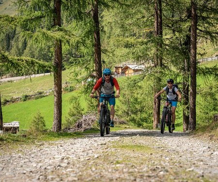
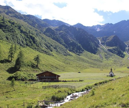
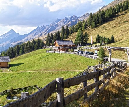
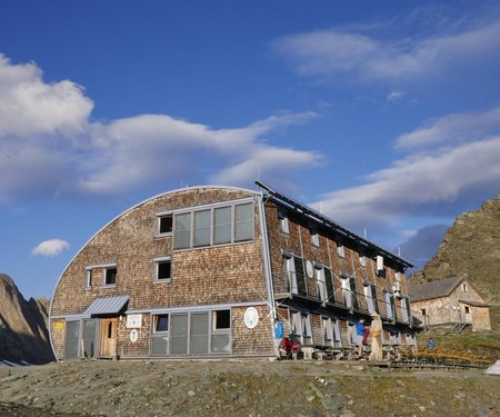
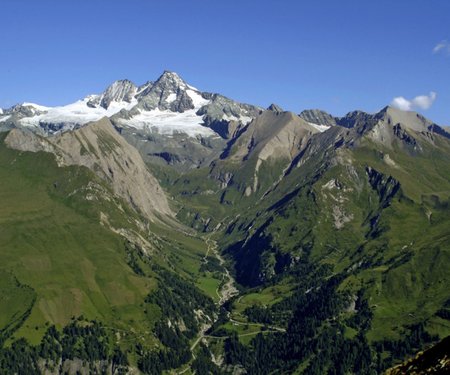
You love to be out in nature on foot as well as by bike? Then Osttirol is the right place for you, because here you can combine both perfectly. We have compiled the most beautiful bike and hike tours for you, so you can get on your bike without detours. Our tips: The tour to Zupalseehütte is ideal for beginners, and if you're looking for the ultimate challenge, take on the bike & hike tour to the Großvenediger.
back
Next
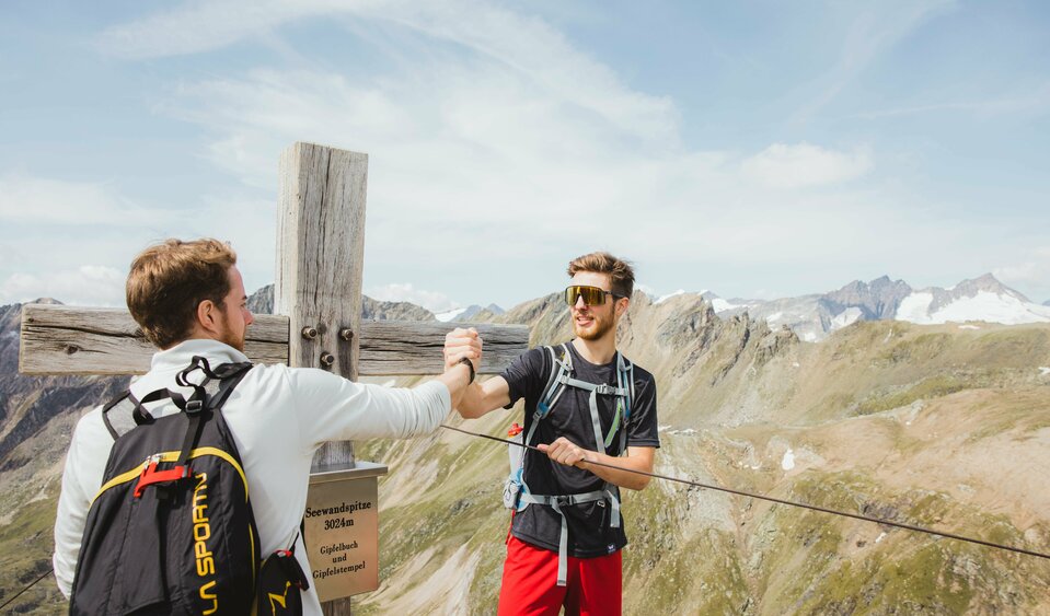
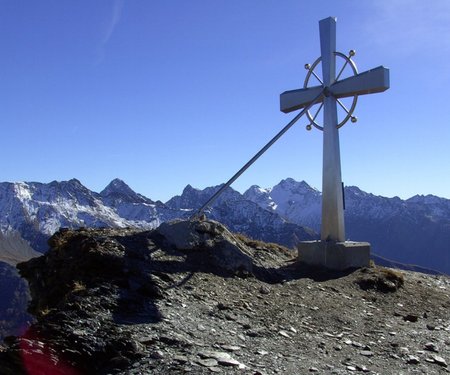
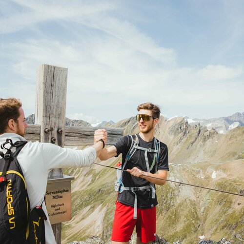
Peak Seewandspitze
Peak Seewandspitze
Hike Rotenkogel
Hike Rotenkogel
Mountain biking at the "Klaunzerberg"
Huts at the "Berg-Radl-Weg"
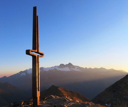
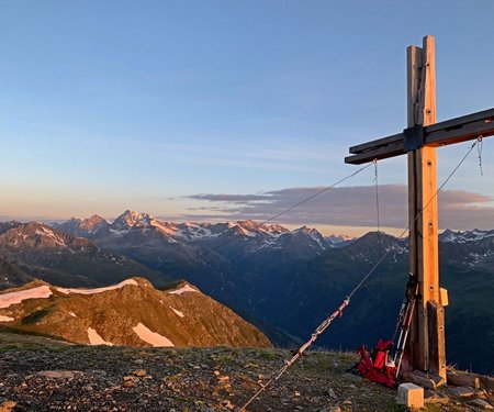
Sunrise at the Weissspitze

The most beautiful Bike & Hike tours in Osttirol

filter results
more filter otions
starting point:
Parkplatz Matreier Goldried Bergbahnen 960m
destination point:
Rotenkogel 2.762m
🞽
difficulty bike
average
🞽
difficulty hike
difficult
total distance
31.5 km
tour times
6 h
starting point:
Parkplatz Freizeitzentrum Gries
destination point:
Weißspitze 3.300m
🞽
difficulty bike
average
🞽
difficulty hike
difficult
total distance
35.1 km
tour times
7.5 h
starting point:
Car park Matreier Goldried Bergbahnen 960m
destination point:
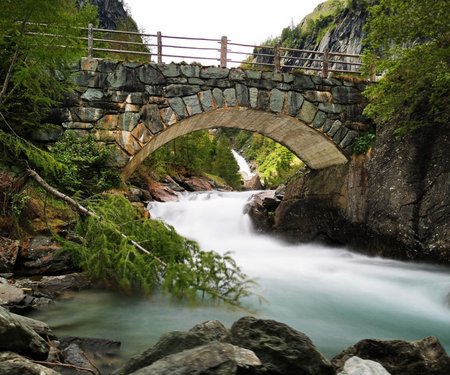
Umbalfälle 1.520m
🞽
difficulty bike
average
🞽
difficulty hike
easy
total distance
50.6 km
tour times
6.5 h
starting point:
Parkplatz Würfelehütte 1.100m
destination point:
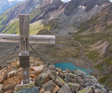
Zupalseehütte 2.350m
🞽
difficulty bike
average
🞽
difficulty hike
average
total distance
15.8 km
tour times
5.25 h
starting point:
Freizeitzentrum Gries
destination point:
Seewandspitze 3.024m
🞽
difficulty bike
average
🞽
difficulty hike
difficult
total distance
30.8 km
tour times
6 h
starting point:
Prägraten-Hinterbichl 1.335m
destination point:
Großvenediger 3.657m
🞽
difficulty bike
average
🞽
difficulty hike
difficult
total distance
33.9 km
tour times
10 h
starting point:
Heinfels-Tessenberg
destination point:
Tessenberger See
🞽
difficulty bike
average
🞽
difficulty hike
easy
total distance
13.1 km
tour times
5.5 h
starting point:
Innervillgraten
destination point:
Schwarzsee
🞽
difficulty bike
average
🞽
difficulty hike
average
total distance
282840 km
tour times
6.5 h
starting point:
Innervillgraten
destination point:
Kreuzspitze
🞽
difficulty bike
average
🞽
difficulty hike
average
total distance
20.1 km
tour times
6.5 h
starting point:
Kristeinertal
destination point:
Bockstein
🞽
difficulty bike
difficult
🞽
difficulty hike
difficult
total distance
29092 km
tour times
10.5 h
starting point:
Lienz
destination point:
Böses Weibele
🞽
difficulty bike
average
🞽
difficulty hike
easy
total distance
16.1 km
tour times
5.5 h
starting point:
Parkplatz Gasthof Schöne Aussicht
destination point:
Schwarzkofelsee
🞽
difficulty bike
easy
🞽
difficulty hike
average
total distance
23 km
tour times
8 h
starting point:
Kirche Nussdorf Debant
destination point:
Wangenitzseehütte
🞽
difficulty bike
average
🞽
difficulty hike
average
total distance
38 km
tour times
9 h
starting point:
Dölsacher Schwimmbad
destination point:
Zietenkopf
🞽
difficulty bike
average
🞽
difficulty hike
average
total distance
32 km
tour times
8 h
starting point:
Parkplatz Talstation Zettersfeldbahn
destination point:
Schleinitz
🞽
difficulty bike
average
🞽
difficulty hike
difficult
total distance
40 km
tour times
6.5 h
starting point:
Kals a. G. Ködnitz
destination point:
Stüdlhütte 2.802m
🞽
difficulty bike
difficult
🞽
difficulty hike
average
total distance
22.5 km
tour times
5.75 h
starting point:
Kals a. G. Lesach
destination point:
Schönleitenspitze 2.809m
🞽
difficulty bike
average
🞽
difficulty hike
average
total distance
19.2 km
tour times
5.5 h
starting point:
Kals a. G. Gemeindeamt 1.400m
destination point:
Figerhorn 2.743m
🞽
difficulty bike
average
🞽
difficulty hike
average
total distance
19.3 km
tour times
6.66 h
starting point:
St. Jakob in Defereggen
destination point:
Neue Reichenberger Hütte 2.586m
🞽
difficulty bike
average
🞽
difficulty hike
average
total distance
21.3 km
tour times
4.5 h
starting point:
Blosbrücke
destination point:
Regenstein 2.891m
🞽
difficulty bike
difficult
🞽
difficulty hike
difficult
total distance
23.9 km
tour times
6.25 h
starting point:
Car park Brunnalmbahn
destination point:
Langschneid 2.684m
🞽
difficulty bike
average
🞽
difficulty hike
average
total distance
15.6 km
tour times
4.66 h
scroll for more
Newsletter

Subscribe to our newsletter and receive the best tips every month for current offers, mountain tours, events and much more.