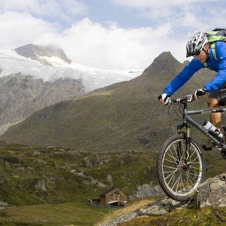
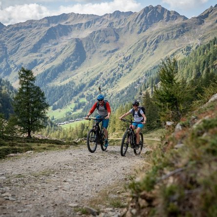
From Hopfgarten at the local Mountain bike club this route used for hard mountain racing proceeds through the idyllic Zwenewaldtal enjoying views to the Deferegger mountains and the Lasörling group. At the same time you are riding on terrain which is steeped in history - around 1500 copper and silver ores were dug up in the Zwenewaldalm area. The starting point for Route 108 is Blosbrücke. At the start of the route, serpentines in an apportioned, moderately difficult ascent awaits, which then crosses a long flat section for around 2.5 km, taking cyclists through the idyllic Zwenewaldtal. Right before the finish, the Bloshütte snack station, a moderately difficult climb awaits, beneath the caves. Cycling & hiking fans scatter at around 700 metres altitude and succumb to the magic of Pumpersee (2486 m) and Geigensee (2409 m).
Menu


