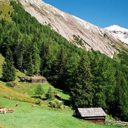
Tessenberger Alm No. 101

Medium-difficulty mountain bike tour to the Tessenberger Alm

The most important at a glance

distance
5.3 km
altitude meters uphill
🔋
630 m
highest point
🞍
1930 m
difficulty
🞽
average
circuit
🞍
no
fitness:

* * * * *

🞙🞙🞙🞙🞙

technique:

* * * * *

🞙🞙🞙🞙🞙

starting point:
Heinfels-Tessenberg (1320m)
destination point:
Tessenberger Alm (1950m)
best season:
MAY, JUN, JUL, AUG, SEP, OCT

arrival

Parkplatz

Parkplatz Tessenberg

altitude profile

Pdf file

Gpx file

Interactive map

Current weather conditions

Sonne-03.png

-6°C/21°F °C

Description

The starting point of this moderately difficult MTB route is the picturesque village of Tessenberg (1,320 metres). From here, the route winds its way uphill, first along a tarmac road and then along the forest path, a crisp 630 metres in altitude. The destination of the route is the Tessenberger Alm! Although it is not serviced, the sensational panoramic views of the Carnic main ridge and the Lienz and Sexten Dolomites alone make the ascent worthwhile. Bike & Hike fans can also tackle the ascent to the romantically situated "Tessenberger See"!


Newsletter

Subscribe to our newsletter and receive the best tips every month for current offers, mountain tours, events and much more.