Lucknerhütte N. 152

Mountainbiking to the "foot" of the Großglockner

The most important at a glance

distance
5.5 km
altitude meters uphill
🔋
327 m
altitude meters downhill
🔋
326 m
highest point
🞍
2240 m
difficulty
🞽
difficult
circuit
🞍
no
fitness:

* * * * *

🞙🞙🞙🞙🞙

technique:

* * * * *

🞙🞙🞙🞙🞙

public transport:

Kals a.G. Lucknerhaus

parking:

Parkplatz Glocknerwinkel

starting point:
Parkplatz Lucknerhaus
destination point:
Lucknerhütte
best season:
JUN, JUL, AUG, SEP

arrival

Parking spot

Parking area Glocknerwinkel

altitude profile

Pdf file

Gpx file

Interactive map

Current weather conditions

Sonne-02.png

1°C/34°F °C

Description

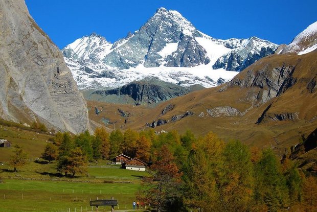
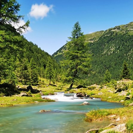
The difficult mountainbike-route "Lucknerhütte" starts at Alpengasthof Lucknerhaus. It leads after about 200 m on the right hand side along the Ködnitzbach (river) with many places to rest and to listen to the background noise of the river. Take the next 1,5 km wide graveled path in a moderate ascent to the bridge and then further on along a very narrow path steep uphill. Please be very careful along this section! After another 2,5 km you're at the Lucknerhütte. Please take care on the way back, too, and never forget to pay attantion to other hikers or bikers!

Newsletter

Subscribe to our newsletter and receive the best tips every month for current offers, mountain tours, events and much more.