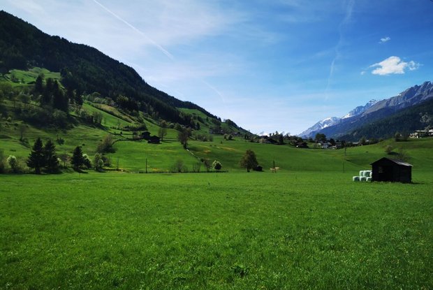
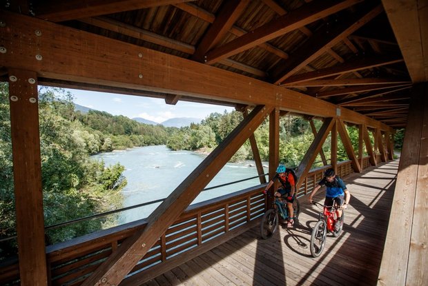
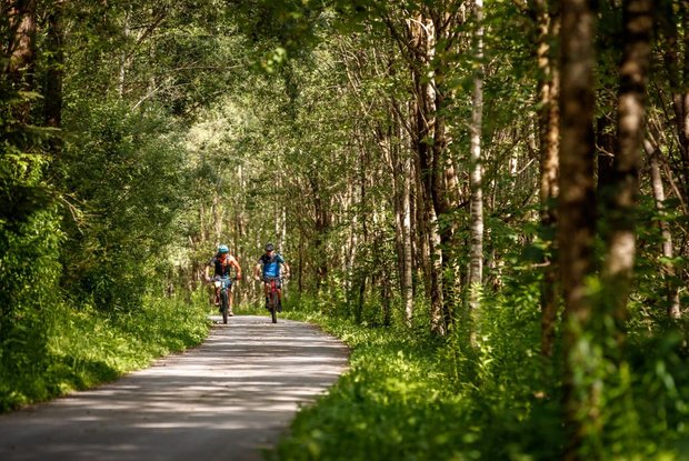
With a length of about 29 kilometres and an average gradient of one percent, the Iseltal Cycle Path is a great way to leave the vibrant town of Lienz behind for a little while and to just cycle towards Matrei. Most of the cycle path is paved and only a short section of rural road to the terminus Matrei is to be travelled. If you only want to travel by bike in one direction, you can take advantage of the all-day bus service to get back to your starting point comfortably and safely.
From Lienz to St. Johann im Walde (14 km) you uninterruptedly stay on the incline-free paved cycle path along the Isel. From St. Johann i. W. to Huben (6 km) you will ride on the old road, past the Kienburg Ruin to Huben. From Huben to Feld (4 km), you’ll ride slightly uphill on a country road with not much traffic. From Feld to Matrei (5 km) the cycle path leads through a shady wooded area and then along to Matrei in Osttirol, the principal town of Iseltal Valley.


