Debanttal

The most important at a glance

distance
35 km
altitude meters uphill
🔋
1300 m
altitude meters downhill
🔋
1300 m
highest point
🞍
1980 m
difficulty
🞽
average
circuit
🞍
no
fitness:

* * * * *

🞙🞙🞙🞙🞙

technique:

* * * * *

🞙🞙🞙🞙🞙

public transport:

Take the bus to the bus stop "Nußdorf Wartschensiedlung".

parking:

Parking Nußdorf School

starting point:
Sports field Debant
destination point:
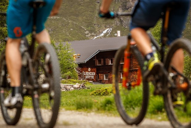
hut Lienzer Hütter
best season:
MAY, JUN, JUL, AUG, SEP

arrival

Parking spot

Parkplatz Nussdorf

altitude profile

Pdf file

Gpx file

Interactive map

Current weather conditions

Sonne-02.png

1°C/34°F °C

Description

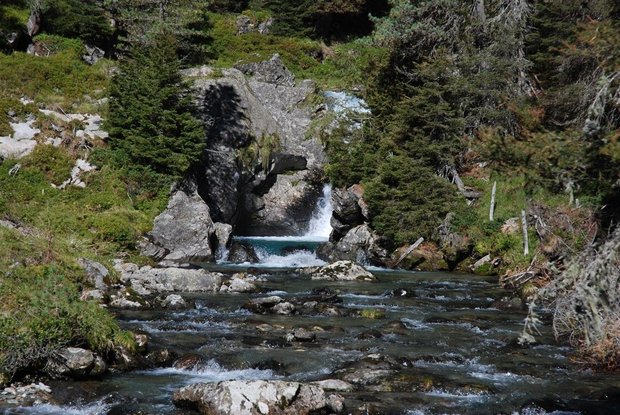
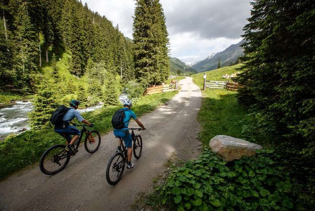
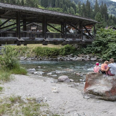
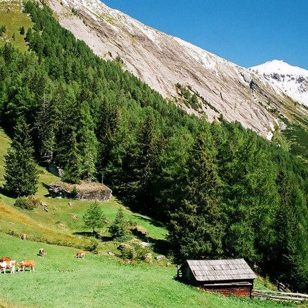
With the sports field of Debant being the starting point, this varied bike route of about 17 kilometres length leads you out of the village through the district Alt-Debant and then runs alongside rushing creek Debant into the idyllic Almental. Riding through ambrosial forests on various terrains, a pleasant ascent will lead you to farmed Lienzer Hütte. On the way there, you will pass popular starting points for hiking tours, like the car park of Seichenbrunn. Especially the impressive landscape that you can enjoy on this tour is unmatched.

Newsletter

Subscribe to our newsletter and receive the best tips every month for current offers, mountain tours, events and much more.