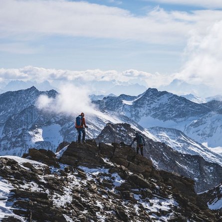
Ascent time from Wallhorn to Bodenalm 1 hour (560 m altitude). From there continue via the new Wallhorner Mähderweg in the Timmeltal up to Ochsnerhütte, continuing to the valley station for the goods cable car and from there up the orographic left side of the river, until you come to a steep section - often ice-hard - the Eisseehütte at 2500 m altitude.
After a short rest at the lodge (open for business from March and at the weekend, from Fri to Sun) you ascend for some 30 minutes up to the so-called "Grubachhöhe" and then cross via flat terrain in a north-easterly direction, which becomes more and steeper to the Garaneberkopf. In a slight curve you cross the Garaneberkees, until you get to the actual foot of the Weißspitze. When conditions are good you can continue to climb on skis and ski crampons via the steep southern flanks. For those of you who don’t feel quite so secure, there is a ski storage area here and you can continue the ascent to the summit using crampons.
Additional ski tour tips can be obtained in the ski tour guides by Thomas Mariacher. These are available here: http://www.grafikzloebl.at/verlag/buecher/


