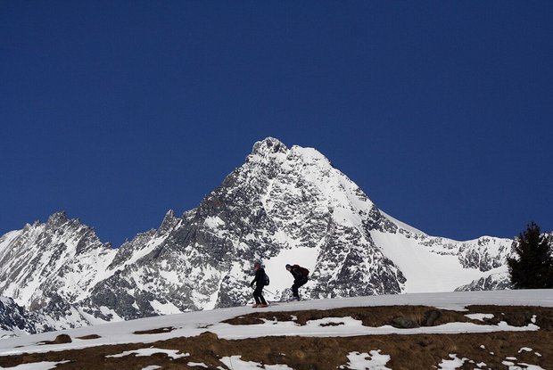
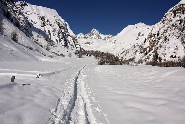
As borderline ingenious as an ascent on skis to the highest mountain in Austria can be, actually doing it is serious and challenging. From 3,200m you are in terrain where there is a risk of falling, where any stumbles may have serious consequences. You really should have the requisite expertise in rope handling, using crampons and ultimately in skiing too so as not to endanger other climbers and so your tour doesn’t degenerate into some sort of suicide mission. For the hard-core out there the Glockner can be tackled as a day tour from Lucknerhaus, otherwise it is recommended that you enjoy an overnight stay in Stüdlhütte, to then be up with the larks next morning and head for the summit. Those who prefer to play it safe would be well-advised to head out with a mountain guide to enjoy a stress-free mountain tour. Starting point is Lucknerhaus. As for the ski tour to the Burgwartscharte on the Ködnitzkees and continue via the initially flat glacier up to the steep slope which comes from the Adlersruhe. When conditions are perfect this is scaled on the left, upper end and via a rocky section at Untere Bahnhof. This variant requires really good hairpin bend technique, since you are indeed out and about in terrain which is 40 degrees steep. The normal route proceeds around the upper part of this flank and gets to 3250 m, the so-called ‘Kampl’, the ridge coming down from the Adlersruhe (3450 m). A steel cable takes us via this route to the highest lodge in Austria, named after Archduke Johann. Via a short, flat crossing to the north-west we get to ‘Unteren Bahnhof’. The steep slope which starts here is scaled via a long crossing to the right, which must be tackled on foot, depending on the conditions. Having reached Oberen Bahnhof a little plateau invites us to catch our breath, before we tackle the steep ‘Glocknerleitl’. This 40 degree steep slope can, depending on the weather conditions, present all kinds of conditions and requires quite a bit of energy. Via the exposed summit ridge there is then an easier climb to the Kleinglockner. Iron bars are there for safety. On the descent from the Kleinglockner a short steel cable is helpful before the infamous balancing act via the Obere Glocknerscharte. There follows an interesting climbing section – level two difficulty - before we proceed around a rocky corner to the highest point. Ski stores, depending on ability level and conditions; descent along the ascent. Stüdlhütte opens in spring!
Additional ski tour tips can be obtained in the ski tour guides by Thomas Mariacher. These are available here:


