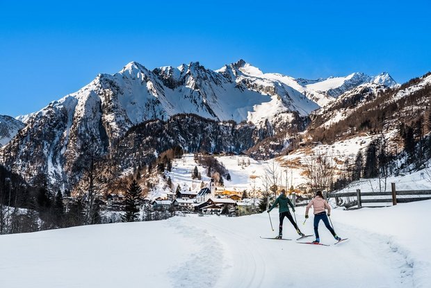
Bobojach slope Prägraten

The most important at a glance

distance
3.6 km
snowed
no
difficulty
🞽
difficult
start altitude
...🔋
1300 m
destination altitude
🞍
1300 m
altitude meters uphill
🔋
71 m
highest point
🞍
1320 m
special accommodation for cross country skier
🅇
yes
barrier-free
🅃
no
biathlon
🅔
no
cross country seal of quality
no
best season:
JAN, FEB, MAR, DEC

arrival

Stop

Prägraten a. G. Bobojach

Prägraten a. G. Gemeindeamt

Parking spot

Car park Freizeitzentrum Gries 1.300m

altitude profile

Pdf file

Gpx file

Interactive map

Current weather conditions

Sonne-04.png

-2°C/28°F °C

Description

The trail starts slightly uphill at the leisure centre "Freizeitzentrum Gries" and leads in an easterly direction after crossing a bridge above a farm. The course of the trail is initially flat or slightly uphill. After a brisk descent, you cross a narrow gorge and continue across open meadowland to the sports field, which you leave on your left. A short descent ends by negotiating a sharp left-hand bend in an open field, and then joins a track that is left again after a few metres, leading in a north-westerly direction to the bridge Schneider-Brücke. From there, continue to the electrical works of Prägraten and via the bridge Perlog Bridge steeply uphill back to the leisure centre!

Newsletter

Subscribe to our newsletter and receive the best tips every month for current offers, mountain tours, events and much more.