Hochsteinhütte No. 35

The most important at a glance

distance
32 km
altitude meters uphill
🔋
1350 m
altitude meters downhill
🔋
1350 m
highest point
🞍
2020 m
difficulty
🞽
average
circuit
🞍
no
fitness:

* * * * *

🞙🞙🞙🞙🞙

technique:

* * * * *

🞙🞙🞙🞙🞙

parking:

Parking at the stadium/swimming pool in Lienz

starting point:
Lienz
destination point:
hut, Hochsteinhütte
best season:
MAY, JUN, JUL, AUG, SEP

arrival

Parking spot

Car park Schwimmbad Lienz

altitude profile

Pdf file

Gpx file

Interactive map

Current weather conditions

Sonne-04.png

-6°C/21°F °C

Description

From Lienz across the cycle lane to Leisach and for about 900 metres along the federal highway to the southwest all the way to the turn-off to Pustertaler Höhenstraße. 

Follow this (partly quite steep) mountain road until you get to Bannberg, then follow the road sign towards Hochstein across the frequently quite steep tarmac toll road to the car park Hochstein (1,980 m).

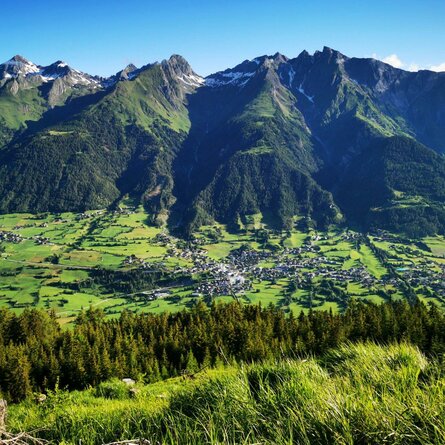
The last leg leads across a gravel path of about 400 metres to Hochsteinhütte (2,025 m) that is perfect for a stop. Enjoy the magnificent view onto the valley floor and a splendid view onto the surrounding mountains. The way back is the same route in reverse.

Newsletter

Subscribe to our newsletter and receive the best tips every month for current offers, mountain tours, events and much more.