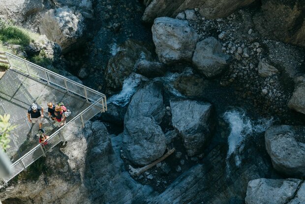
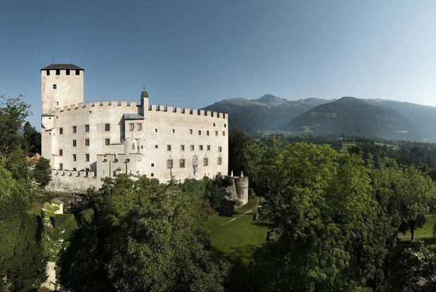
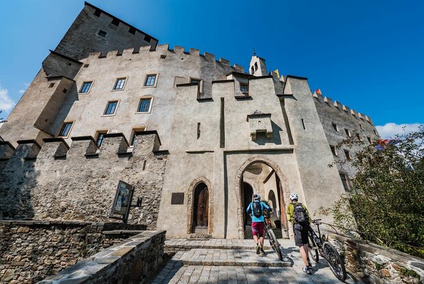
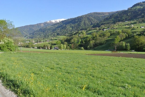
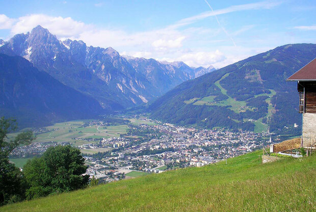
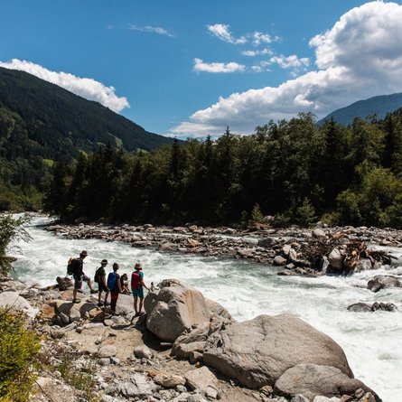
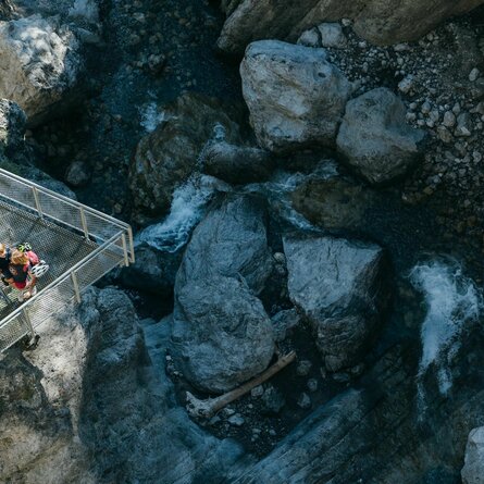
Lienz is framed in the north by the foothills of the Hohe Tauern, in the west by the last ridge of the Villgrater Mountains, in the northeast with the Ziethenkamm from the Kreuzeckgruppe and in the south by the peaks of the Lienzer Dolomiten. Just as individual as the mountains are the scenic features that can be experienced along the Lienzer Talboden hiking trail. Starting from Schloss Bruck on the western of Lienz, the route leads over 45 km first at the Hochstein and along at the bottom of the Lienzer Dolomiten. At the Kärntner Tor the route changes to the sunny side and then returns to Lienz. Numerous natural and cultural highlights await hikers along the route. It is also worth taking a break at the various refreshment stops. If the trail as a whole is too difficult for you, the tour can also be mastered in individual stages.
Stages
Parkplatz Schloss Bruck - Gribelehof - Leisach - Amlach - Ulrichsbichl - Tristachersee - Kreithof (1.050m) - Lavantblick - Wacht - Frauenbachwasserfall - Radbrücke - Chrysanther Kirche (Nörsach) - Nikolsdorf - Schloss Lengberg - Kapaun - Görtschach - Gödnach - Dölsach - Stribach - historischer Hinweis: Aguntum - Nußdorf-Debant - Nußdorf - Gaimberg - Talstation Zettersfeldbahn - Grafendorf - Ackerer Mühle - Tamerburg - Maria Trost - Parkplatz Schloss Bruck
