Gölbner 2,943 m

The most important at a glance

distance
10.6 km
altitude meters uphill
🔋
1430 m
altitude meters downhill
🔋
1430 m
walking time uphill
3:30 h
walking time downhill
3 h
total walking time
6:30 h
highest point
🞍
2918 m
difficulty
🞽
difficult
fitness:

* * * * *

🞙🞙🞙🞙🞙

technique:

* * * * *

🞙🞙🞙🞙🞙

parking:

Parkplatz Kristeinertal

starting point:
Parkplatz Kristeinertal
destination point:
Gölbner
best season:
JUN, JUL, AUG, SEP

arrival

Parking spot

Car park valley Kristeinertal 1.530m

altitude profile

Pdf file

Gpx file

Interactive map

Current weather conditions

Sonne-04.png

-2°C/28°F °C

Description

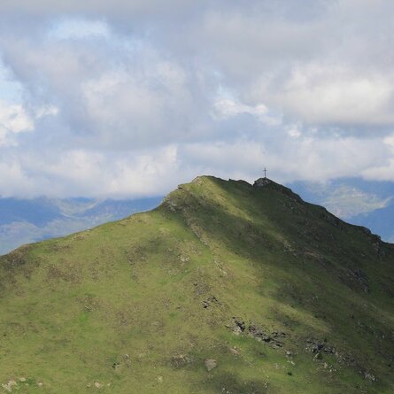
Through Kristeinertal to the car park. From here, hike to the left for another 20 minutes on a gravel road to Gölbnerblickhütte. From there across Alpine pastures and meadows at the head of the valley and via a steep section to the Seealpe and to a lake (partially dried out) – continue into a large corrie – in part across a boulder area to another steep section and across large boulders to the wide yet steep northern ridge of the Gölbner – very steep and slippy to the summit cross on the Gölbner.

Newsletter

Subscribe to our newsletter and receive the best tips every month for current offers, mountain tours, events and much more.