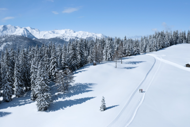
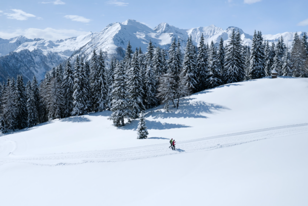
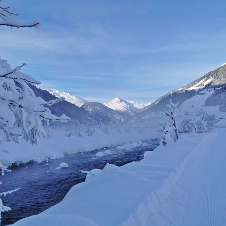
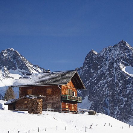
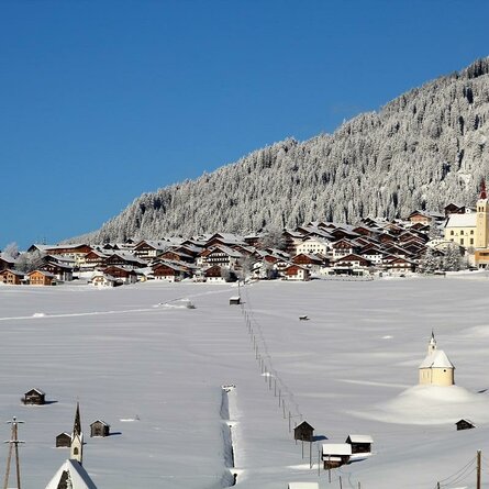
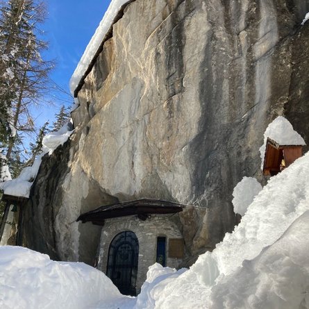
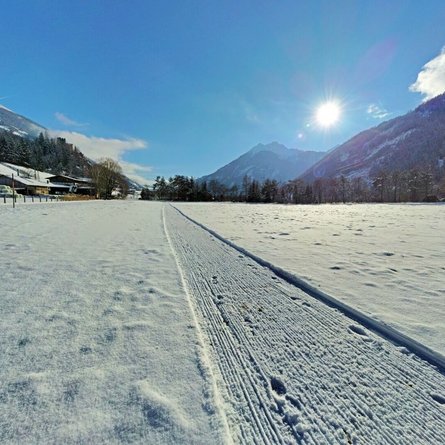
The starting point is the car park in St. Oswald, at 1360 metres above sea level. The hiking path leads along the municipal road to the Dorfberg lift, with direct access there to the long-distance hiking trail towards Dorfberg. The path meanders in a constant ascent up through the forest and affords an interplay of sunny and shady stretches. Through the many altitude metres, after about two metres one reaches the plateau at 1820 metres. The difficult part is now over and the path now leads relatively flatly through the forest. Soon breathtaking panoramic views open up here and there of the Carnic ridge, from the Großer Kinigat to the Ortler. The oath continues straight on relatively flat directly along the Höhenlopie, without any more noteworthy ascents, and you can enjoy the full sunshine. The path continues past the Ochsenwiese with the old hay barn to Breitwiesen. From here you can enjoy a fabulous view over the whole surrounding mountain world, the deeply snowy mountain meadows, the hay barns filled with hay and a view of Dorfberg, whose peak cross stands at 2144 metres, delighting every winter hiker. A picture postcard mountain setting. On the walk we encounter only cross-country skiers and a few ski tourers climbing directly to Dorfberg (2114m), whose peak is just a few hundred metres from Breitwiesen. The maintained hiking path now leads from Breitwiesen further in a southerly direction to Rauchenbach. The descent takes around another 2 hours. There is also the possibility of joining the Innerlandweg here. This long-distance hike can of course also be taken from the car park in Rauchenbach towards St. Oswald. A tip to round off: those who only want to walk as far as Breitwiesen or perhaps climb the peak of Dorfberg (from Breitwiesen there is no more maintained hiking path – only a trail prepared by ski tourers), should take on this hike from Rauchenbach. The ascent takes about 2.5 hours and is therefore significantly shorter than the long-distance variant from St. Oswald. It is possible to book transport to the Dorfberg lift peak station with the team piste vehicle at 0043 664 1618723 (significantly facilitates the ascent).

