Hochstadel via the Rudnigweg

The most important at a glance

distance
6.2 km
altitude meters uphill
🔋
880 m
walking time uphill
3 h
walking time downhill
2 h
total walking time
5 h
highest point
🞍
2660 m
difficulty
🞽
difficult
fitness:

* * * * *

🞙🞙🞙🞙🞙

technique:

* * * * *

🞙🞙🞙🞙🞙

public transport:

Mit dem Hüttentaxi zum Hochstadel Schutzhaus.

starting point:
Hut Hochstadel Schutzhütte
destination point:
Hochstadel
best season:
MAY, JUN, JUL, AUG, SEP

altitude profile

Pdf file

Gpx file

Interactive map

Current weather conditions

Sonne-02.png

-5°C/23°F °C

Description

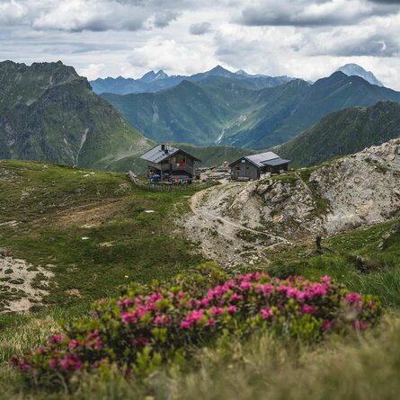
From Hochstadel bothy at 1780m proceed from the car park in a westerly direction through Unholdalm to the junction at the fountain, where steep path No. 218 (Rudnigweg) proceeds up to the summit of the Hochstadel at 2681m.


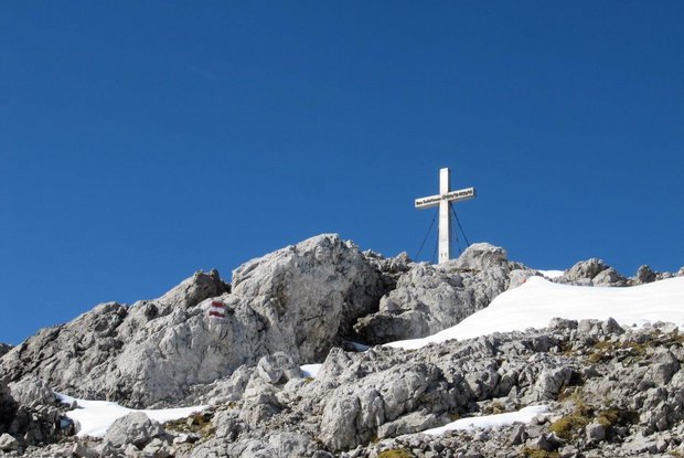
The Hochstadel is a summit in the Lienz Dolomites which is relatively easy to tackle. At the Hochstadel summit, a breath-taking panoramic view across Oberes Drautal, Gailtal, the Lienz valley floor, through to the Glockner-, Venediger- and Kreuzeck groups, the Lienz Dolomites, Gailtal Alps and the Carnic Alps in the south, awaits. The panoramic view deems it worthy of its nickname, "King of Oberes Drautal’.
Newsletter

Subscribe to our newsletter and receive the best tips every month for current offers, mountain tours, events and much more.