Gösleswand 2.913m

Breathe in the fresh mountain air and feel the call of freedom

The most important at a glance

distance
25 km
altitude meters uphill
🔋
1510 m
altitude meters downhill
🔋
2400 m
walking time uphill
5:30 h
walking time downhill
4 h
total walking time
9:30 h
highest point
🞍
2912 m
difficulty
🞽
difficult
fitness:

* * * * *

🞙🞙🞙🞙🞙

technique:

* * * * *

🞙🞙🞙🞙🞙

public transport:

Bushaltestelle St. Jakob i. D. Gemeindeamt

parking:

direkt im Ortsteil von St. Jakob in Defereggen oder Parkplatz Trojertal

starting point:
St. Jakob i. D.
destination point:
Gösleswand
best season:
JUL, AUG, SEP, OCT

arrival

Haltestelle

St. Jakob i. D. Gemeindeamt

Parkplatz

Car park Trojeralmtal 1.640m

altitude profile

Pdf file

Gpx file

Interactive map

Current weather conditions

Sonne-02.png

-5°C/23°F °C

Description

Remarkably lovely mountains in the area around Reichenberger Hütte. Geologically interesting structure, consisting of a wide variety of stones – magnesian limestone, mica-slate, steatite, quartz, paragneiss, serpentinite and marble.


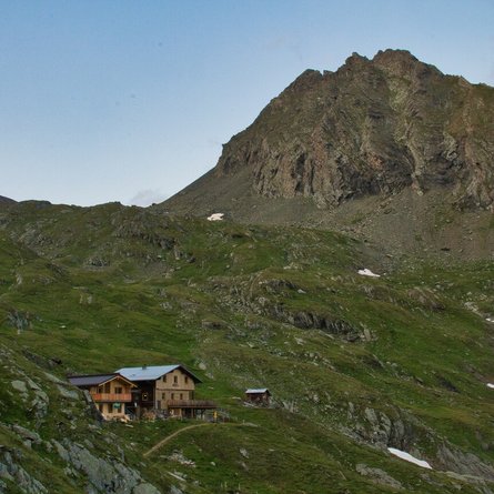
The tour begins in St. Jakob i. D. and proceeds via the Hintere Trojeralm to the Reichenberger Hütte. From the hut pass the left of the Bödensee via a good trail, flat initially, then climbing slightly to the Rote Lenke. The route then turns to the left and continues to climb, moderately steeply on a path in hairpin bends up to the ridge top. The final few meters via the rugged back of the ridge, to the summit on the right. The descent can then be made via the Durfeldalm.

Newsletter

Subscribe to our newsletter and receive the best tips every month for current offers, mountain tours, events and much more.